The
Big Beaver Valley runs northwest from Ross Reservoir toward the most rugged mountains in the North Cascades:
the Picket Range. Being a low-elevation valley trail, it's a perfect place to go while the high country is still holding snow. It's been on my list for some time, and I was very happy to get out and do a big chunk of it today, from the trailhead at Ross Dam out to Luna Camp and back.
 |
| Big Beaver Valley in Google Earth |
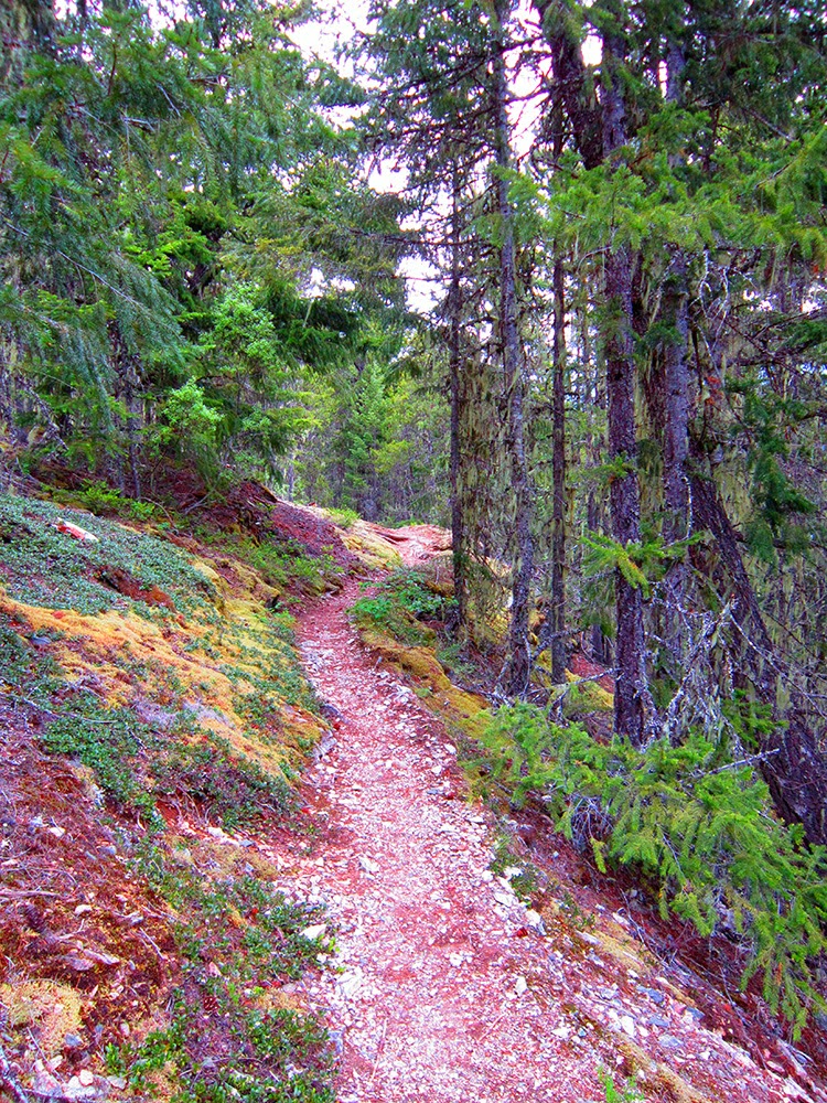
Huge marshes, 1,000-year-old cedars and Doug fir line the trail. Definitely not a bad place to spend a day...
The trail is in fantastic shape by North Cascades standards. There is a handful of easy hop-over/duck-under blowdown, but only one that requires a little work, and really isn't that bad (see photo below). There's almost no mud, all creeks except the last two before Luna Camp are easy to cross while staying dry and patches of snow don't start until about one mile before Luna, and total about 200 yards. I think those will be completely melted out in a few weeks.
Please pay attention to your exposed skin! I found (as soon as they bit me) two ticks, both in the first 10 miles. Obviously, there also are many bears in the area as well (~50 scat piles along the trail, mostly from the marshes around mile 9 onward, as well as multiple prints).
I saw three parties, all within the first five miles of the trailhead, and otherwise had the whole Big Beaver Valley proper to myself.
 |
| Crossing Ross Dam. |
 |
| Happy Creek spilling into Ross Reservoir. |
 |
| Ross Dam trail toward Big Beaver. |
 |
| Pierce Creek |
 |
| Thanks NPS! Trail clearing in progress. |
 |
| Cedars in lower Big Beaver. |
 |
| Trillium. |
 |
| The one bad section of three blowdowns together, in between Big Beaver and 39-Mile camps. |
 |
| Same blowdown section from the other side. |
 |
| One of many. |
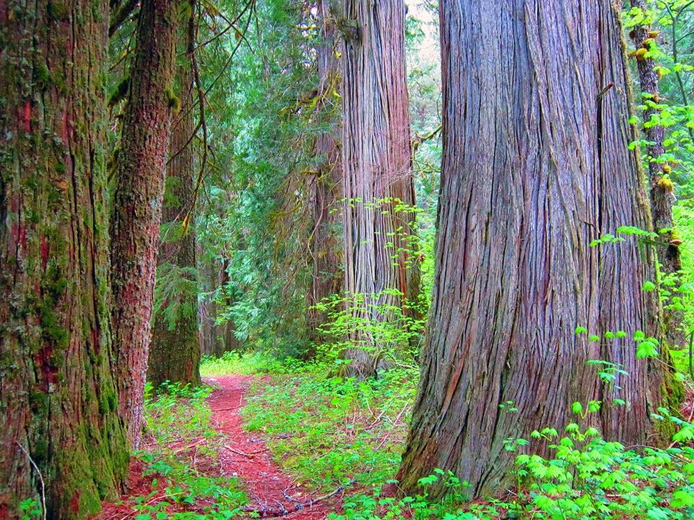 |
| Great old-growth along the valley bottom. |
 |
| Cedars. |
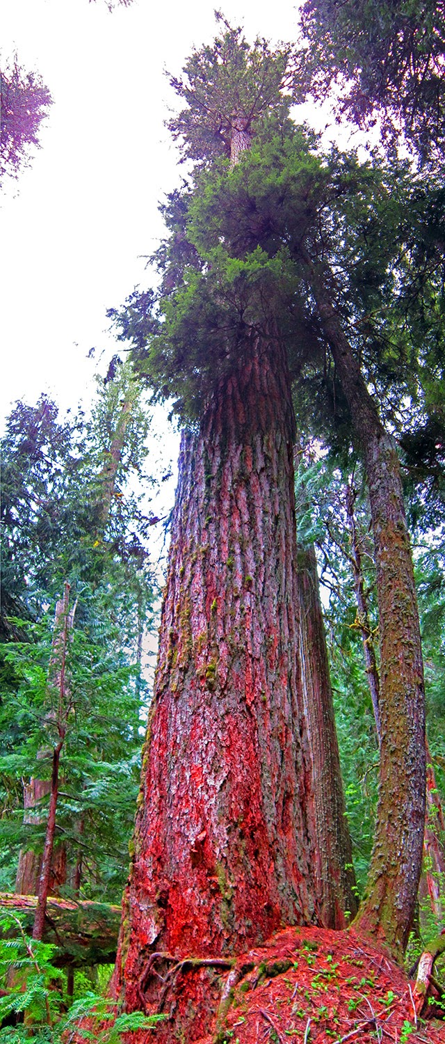 |
| Doulgas Fir with weird (?) scraping? |
 |
| Nice Black Bear track. |
 |
| A couple miles on from the other print. |
 |
| Eastern buttress/ridge before Luna peak (hiding in the clouds a few miles back ). |
 |
| First ford before Luna Camp; about calf deep and cold. |
 |
| A few patches of lingering snow, however the trail remains easy to follow. |
 |
| Second ford before Luna; a little deep in places, stronger than the other one. |
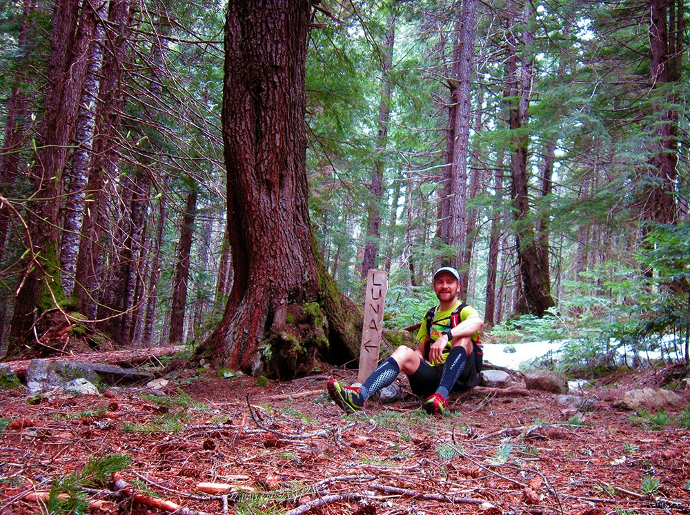 |
| Luna Camp, where I turned around; ~16 miles from Highway 20. |
 |
| One of the north-facing sections of the Stetattle Ridge-Elephant Butte complex. |
 |
| Heading back toward 39-Mile Camp. |
 |
| North-facing sections of 6,607' and surrounding peaks, I think. |
 |
| Finishing up for the day. |


You forgot to mention the Yeti that apparently was willing to take pictures of you during your solo run!
ReplyDelete#yetipacer ?
ReplyDeleteIt's actually so much easier to carry a point and shoot over fiddling around with my phone. Now go back to writing your Sun Mtn report!