Over warm cups of tea, on a cold December day,
Sir Hikes and I spread out a table-full of maps and went through a greatest hits of routes in the North Cascades and Olympics. After a failed Pasayten trip with my brother in 2002, I've always wanted to go back, and he had just the trip to suggest: a ~60 mile lollipop up the Chewuch River to the Boundary Trail, east to Horseshoe Basin, then south over Windy Peak and back down to the Chewuch River.
I'd been maniacally monitoring snotel, weather forecasts and trip reports from the Pasayten and North Cascades. We expected some rough conditions (generally the normal in this area) and definitely were not disappointed. We didn't get to complete exactly what we set out to, but we had a great day in the backcountry without seeing a single person.
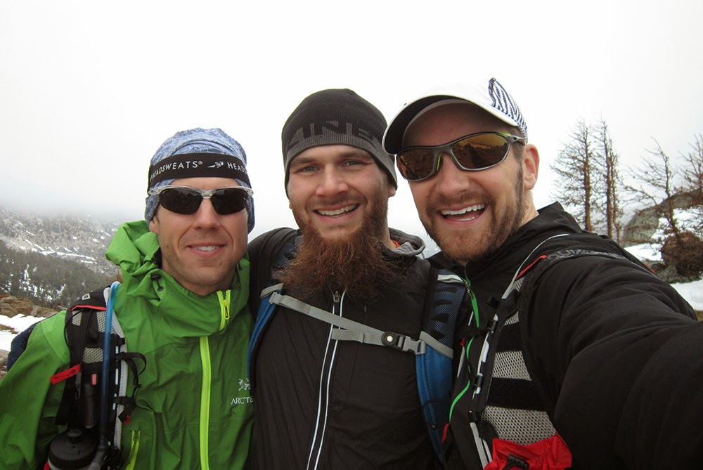
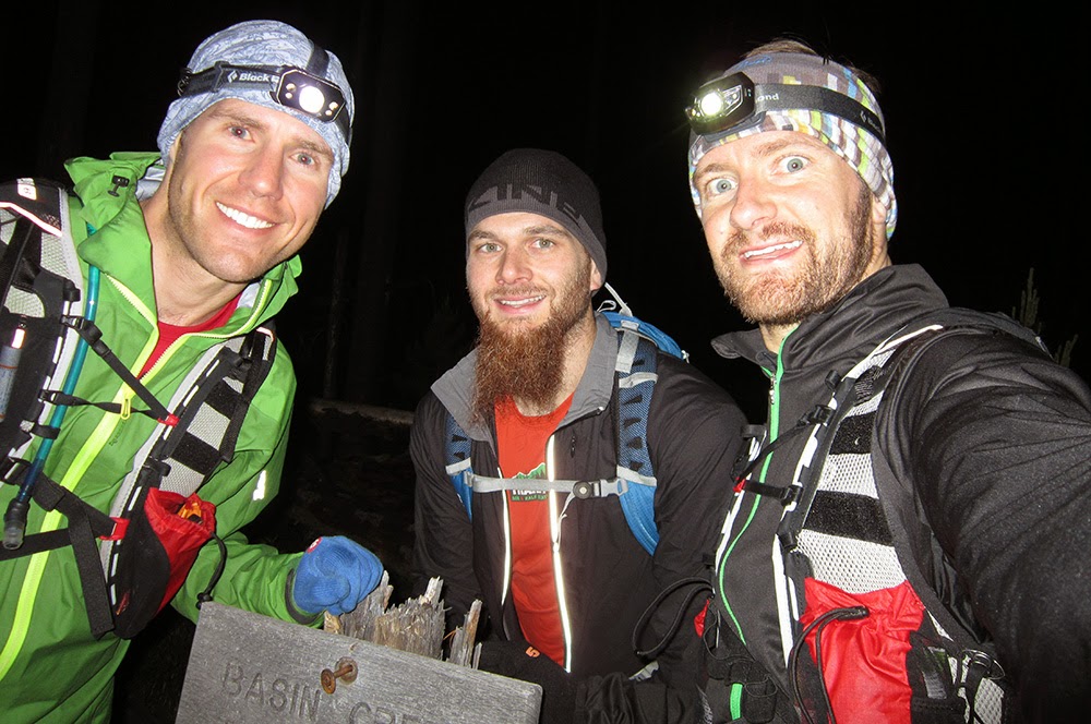
Thanks to Graham and Paul for coming along! I hope we'll be back there again this summer...
Graham's photo album here!
(trail conditions report at bottom)
 |
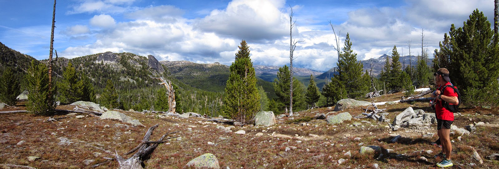
| Starting off on the Chewuch River trail |
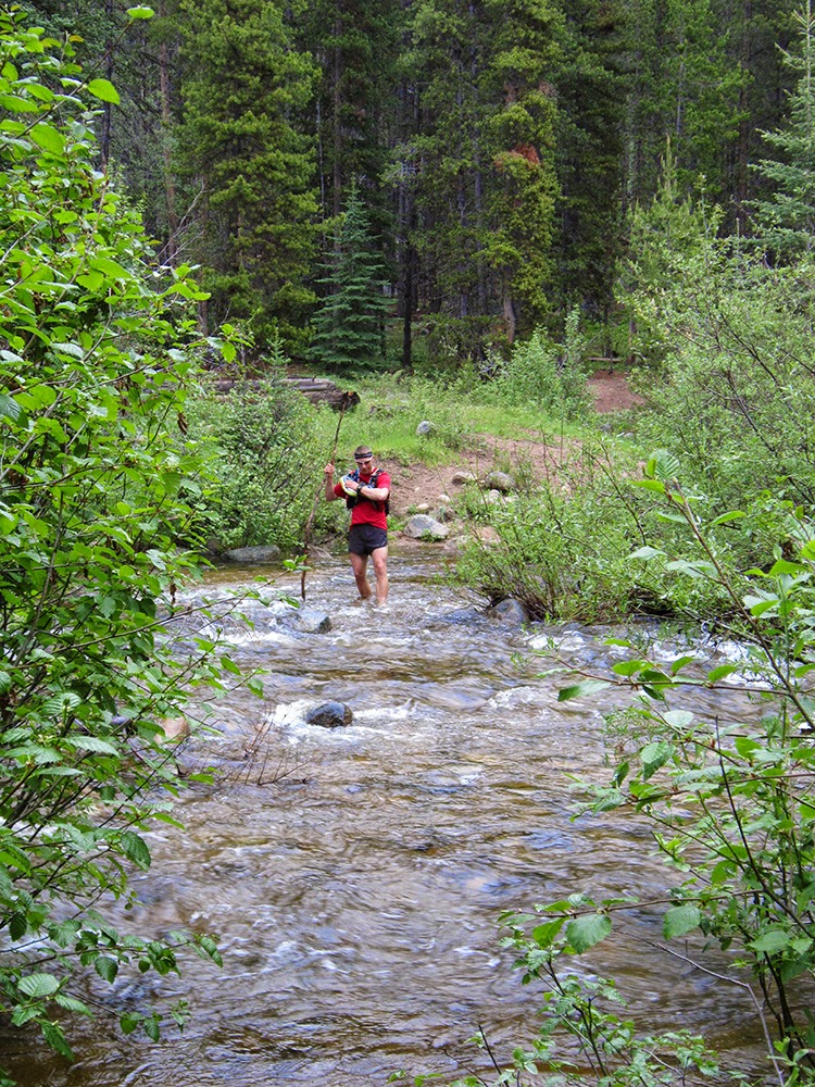 |
| Horseshoe Creek ford |
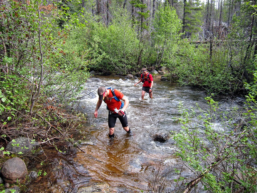 |
| Tungsten Creek |
 |
| Small cougar tracks (also many cougar scat throughout the day) |
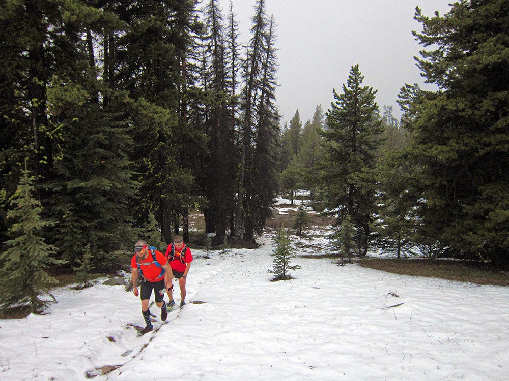 |
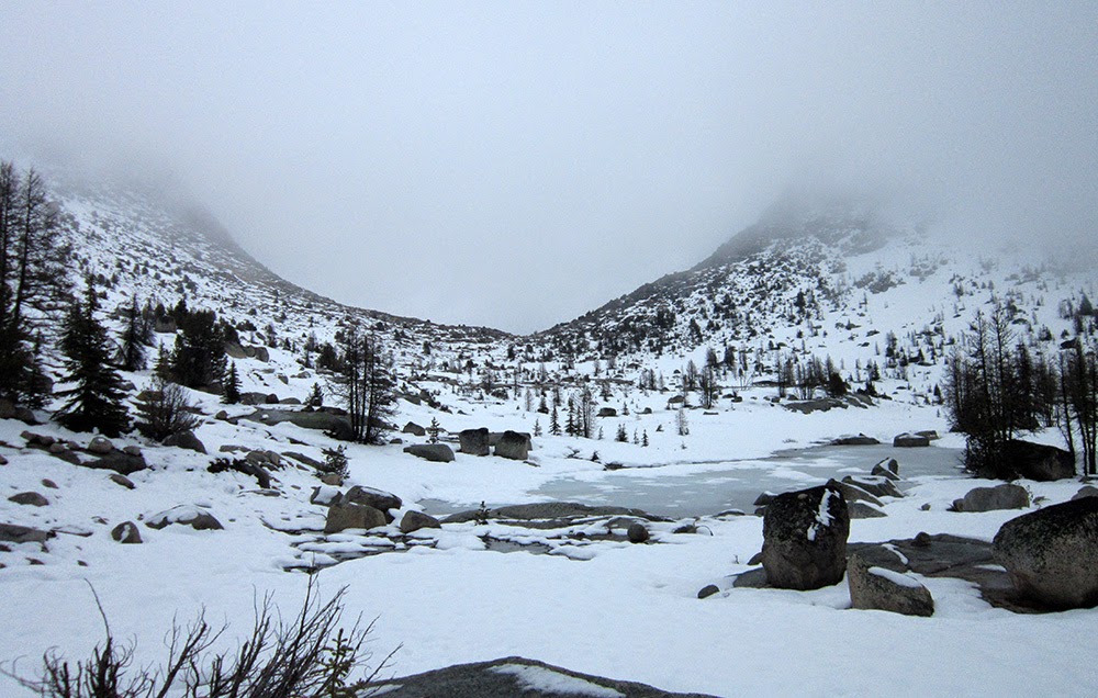
| Patchy snow starting around 6,600'... |
 |
| ...quickly turned into much deeper stuff; above Remmel Lake |
 |
| Lots of great granite keeping Graham happy on our way to Cathedral Pass |
 |
| Upper Cathedral Lake and Cathedral Pass |
 |
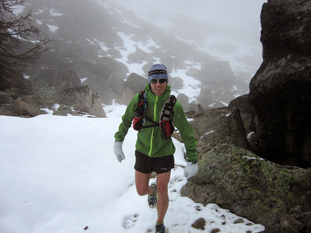
| Happy at Cathedral Pass because... |
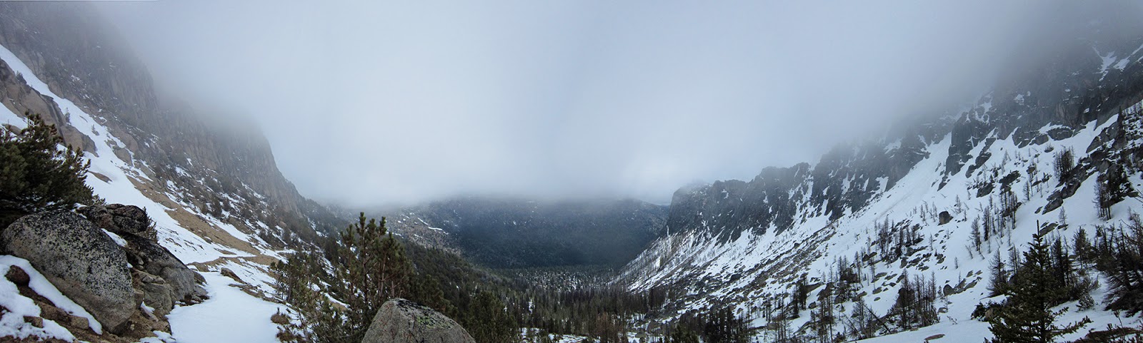 |
| ...the east side looks better! Boundary Trail seen contouring on the left |
 |
| Boundary Trail with Cathedral Pass and Peak to the west |
 |
| Looking back toward Amphitheater Mountain in the clouds, left, and Cathedral Peak |
 |
| Lost, near Scheelite Pass |
 |
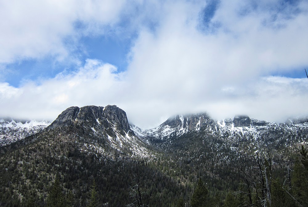
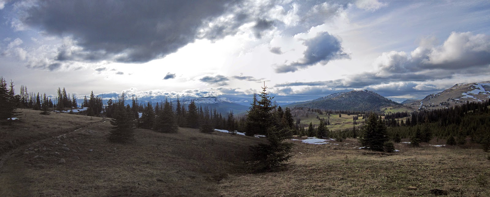
| Teapot Dome, Haig Mountain, Horseshoe Basin and Windy Peak |
 |
| Horseshoe Basin |
 |
| Back at the Chewuch River; six miles to the car (yeah, I look craziest of the bunch...) |
Because of the conditions, and our (mostly my) pace, we had to skip Windy Peak this time and just take the quickest way back to the car. We were out for a few hours longer than expected, but I think we all escaped largely unscathed.
TRAIL CONDITIONS
- Chewuch River: majority of the blowdowns are in the first six miles, with a handful of climb-overs. Mostly clear past Tungsten Creek junction. Consistent snow from Remmel Lake north, up to four feet; we often postholed up to our thighs in the deep areas.
- Boundary Trail: significant snow around Cathedral Peak/lakes, and at most shaded areas all the way through Horseshoe Basin. Very few blowdowns and overall in good shape, though hard to follow through snowy areas.
- Basin Creek: snow at the junction with Windy Peak/Creek trail. We got lost and decided going cross country down Basin Creek to rejoin the trail below the SW ridge of Topaz Mountain was the best option. It actually worked out very well, and we hit the trail with a couple of miles of descending left to rejoin the Chewuch River trail. Given the recent fire, the upper part of the trail over Topaz probably is worse than the actual basin we followed.


