Thursday, December 31, 2015

2015 moments

I'm definitely not immune to reviewing the last 12 calendar months and reflecting on adventures completed, routes unfinished and being appreciative for the people I get to spend time with in some of the most beautiful places in the Pacific Northwest. With the poor snowpack last winter, 2015 adventures pretty much rolled on from 2014 without too much of a break...

JANUARY: Stetattle Ridge with Dave, one of my favorite places in the state...
FEBRUARY: Ben invited me for a winter loop of the Loowit Trail on foot; a testament to how "bad" last winter was
MARCH: A fun trip down to the Columbia River Gorge with a good group of adventure buddies
APRIL: A hot Yakima 50k; the only real race I ran in 2015
MAY: After doing a point-to-point traverse of the North Unit of NCNP in 2014, a traverse of the South Unit had to be done
JUNE: The Pasayten Wilderness 8 x 8,000' route gone wrong! Hot. Hot. Hot.
JULY: The Glacier Peak 100+ circumnavigation with Ben; a true dream come true
AUGUST: Mt. Daniel circumnavigation with Sir Hikes; some solid adventuring
SEPTEMBER: Mt. Rainier's Wonderland Trail, solo and unsupported in 26:36; probably my best athletic performance in ultra distance racing/adventures
OCTOBER: A wonderful week of adventures in Nevada, with Ben (Toiyabe Crest Trail, Great Basin National Park,       Ruby Crest Trail
NOVEMBER: Two trips to the Teanaway, including a fun ridge loop summiting Miller Peak
DECEMBER: Third-annual Winter Solstice group run; thanks to all the guys for making this a great tradition 
Now, routes for 2016 are being mapped in Caltopo and a real training plan to get strong for summer started this week...I can't wait!

Tuesday, December 22, 2015

2016 support: Pearl Izumi, Honey Stinger, Nuun

I always feel a bit sheepish when I fill out an application that has four or five different boxes for personal social media links and I list this blog and fill out the rest as "N/A"...

For 2016 I applied to three companies: Pearl Izumi (again), Honey Stinger (first time) and Nuun (first time). I feel very fortunate to have been accepted to all three ambassador programs and appreciate the support from each respective company.

Pearl Izumi

I've now been wearing Peal Izumi shoes for three years and continue to love them. I'm still using the Trail N2v2 for trails, Road N3 as a 100-mile shoe/road recovery shoe, Road N2v3 as a daily trainer and Road N0v2 as a workout/racing shoe (yes, I'm signed up for a road half marathon in February).

In 2016 PI is releasing a Trail N3 and the Trail N2v3; both of which look very cool and after trying on the Trail N3 at Seven Hills I'm sure it'll be my new 100-mile shoe. They also have new lines of clothing coming out that appear to be quite different from what they've been doing the last few years.

Honey Stinger 

To be honest, I first bought honey stinger bars and chews a few years ago when Lance Armstrong was on the wrappers and every retailer was clearing them out on the cheap. Since then their chews and waffles have been staples of what I take with me to the mountains. I especially like the Gingersnap Waffles and the Fruit Smoothie and Pomegranate Passion chews. They are just releasing new chews that have a little protein in them (5g/150cal) as well as gluten-free waffles for people with Celiac.

Nuun

Nuun was another chance product I got turned onto a few years ago when I received some as a gift. The flavors are pleasant and it's easy to carry and use. Recently I've been using it more in town as well, mainly after running when I immediately go sit at a computer for hours. A couple of years ago I was having bouts of orthostatic hypotension from not rehydrating enough after long or hard workouts. Having a bottle of nuun with calories solved the issue!

---

As a little fish in a big mountain pond, I do appreciate that hopefully some people think these adventures are cool and find the reports here useful!

Happy Holidays,
Luke
 

Sunday, December 20, 2015

Winter Solstice group run 2015

For the third year in a row I've had the pleasure of organizing a group trail run to mark the winter solstice (or whatever weekend day is closest!). This year we headed out to Olympic National Park and went ~10 miles up the Hoh River to the Hoe Lake trail junction, just past the Olympus Ranger Station.

Of note, the trail has multiple large washouts and a few swampy sections from the recent flooding (there are probably five sections of shin-deep water that vary from 30ft long to close to 75ft); ~10 large blowdowns as well.

Thanks as always to the guys for coming out.

Tony, Will, Michael, Matthew, Ian, Luke, Kevin, Ray (missing photog Dave)
Hoh River; every gravel bar had groups of recently-washed-up blowdowns
A sample of the five or so swamps covering the trail 
Bear prints lasted about a mile along the trail
One of the large blowdown-washout combos
The blowdown and washout from the bottom
Near the Olympus Ranger Station meadows, looking up toward point 5200'+
Fording the stream was considerably easier, Ian! Michael's photo
Olympus Ranger Station
Hoh rain forest; Kevin's picture
Blowdown
Matthew in the Hoh rain forest
This group of elk hung out at the five-mile meadows all day
Hoh rain forest; Dave's photo
Will's photo collage


Monday, December 14, 2015

Deception Pass 50km sweeping

Alas, in a sport that seems to pride itself on being inclusive, someone always is excluded. Someone, me and 1,000+ others actually, didn't get into Hardrock; 3,000+ people didn't get into Western States; this past weekend, a few individuals at the Deception Pass 50km got cut off at mile 21.

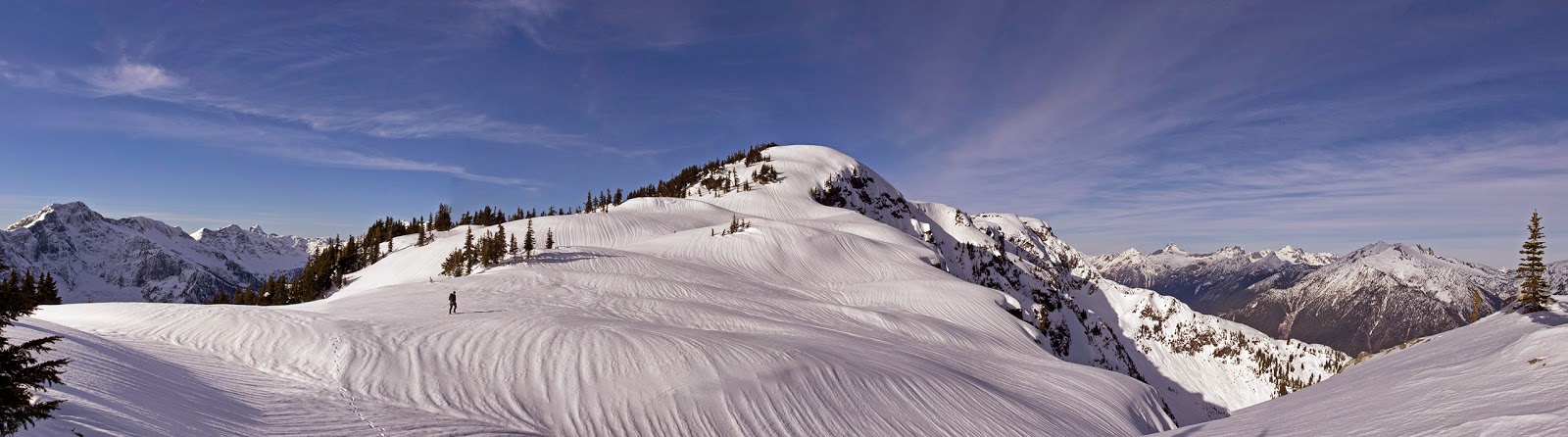
As a sweeper at Deception Pass, part of my role was to enforce the cut offs, which means excluding those people who weren't moving fast enough from finishing the race.

Why is a cut off there any different from cut offs at other races? Pretty much every race has them. Well, this cut off at mile 21 was a new one this year. Why? Because I asked for it last year.

After sweeping Deception Pass in December 2014, I lobbied Rainshadow Running for a cut off at that point on the course.  

On December 15, 2014, I wrote them via email:
"Our one thought regarding the course yesterday: publish (print out and post at the aid station) a cutoff time for finishing loop one of Hoypus. That will ensure runners come in after two laps on time and also will avoid the judgment call the aid station captain was having to make yesterday when runners wanted to go out on their second loop because they thought they had enough time to get back in before 3:15 when they clearly didn't. With a published (on web and posted at aid station) time for finishing loop one (probably about 1:40pm) it might avoid that subjective call. I hope that's useful feedback. Otherwise everything else went quite smoothly from our standpoint." 
In mid-December the sun sets at ~4:17pm (assuming its clear). When we finished sweeping at 5pm last year, in the dark, it was difficult to ensure that we stripped all course markings, picked up garbage on the course, etc. All these jobs are vitally important to make sure we do not have negative impacts in the areas where races occur, impact other trail users as well as put race permits in jeopardy.

This year, Rainshadow Running announced in their pre-race email a few days before the race that there would be a new 1:30pm cut off at mile 21; basically what I asked for after sweeping last year to ensure that sweeps were safe and able to complete our job. Rainshadow also had an existing 4pm finish-line cut off, so a midway cut would ensure that people are on pace to complete the course by that end-of-day time.

From the Rainshadow pre-race email prior to this year's race:  
8:00 AM: Race starts via the parking lot of the West Beach Shelter.

10:30 AM: Cut-off at Bowman Bay Aid Station - Runners must have left the aid station for a second time (at mile 7.3) by this time.

1:30 PM: HARD Cut-off at Cornet Bay Aid Station - Runners must have left the aid station, headed out on their second Hoypus Loop (at mile 21.4) BY 1:30 in order to continue on the course. This is of the utmost importance, and to ensure no one is finishing in the dark.

3:15 PM: Final Cut-off at Cornet Bay Aid Station - Runners must have left the aid station for a third and final time (at mile 28.2) to head toward the finish-line by this time.

4:00 PM: Cut-off at the Finish. Runners must have finished by this time to get an official finish.
Unfortunately, some people did not make that 1:30pm time and were forced to drop from the race. That stinks; I understand. Everyone who signs up for and starts a race wants to finish and I'm assuming they've done enough training to complete the course within the stated times/rules/guidelines.

The 1:30pm time is 5.5 elapsed hours (15:42/mile pace) and consistent with the 4pm finishing time (8 hours elapsed, 15:30/mile pace). This year, instead of finishing at 5pm, we swept in behind the last runner at 3:57pm, right when the finish line would officially "close".

I'm sorry if some people were upset at the new cut off time. I hope they will understand why it was implemented. It was not intended to target back-of-the-pack runners.

I am more than happy to share the "blame" as I sent the idea to Rainshadow last year as well as reminded them of my request two weeks prior to race day when I confirmed that I would again volunteer as a sweeper. I continue to stand by it as a reasonable time both for runners and volunteers. I sincerely hope that those individuals will come back to Deception, or another race, and try to finish within the stated times again. If they feel that is unreasonable, maybe they could sweep? Sweepers move at cut-off pace, don't have to pay to run the course and still get access to aid stations.

It's a good deal, and one reason why I like to do it; controversy notwithstanding.    

Monday, December 7, 2015

Granite Lakes trail windstorm destruction

Unfortunately, the Granite Lakes trail off of the Middle Fork Snoqualmie road has been obliterated by blowdown after the bridge crossing Granite Creek. There are 100+ blowdowns in the 1/4-mile past the bridge and the 100 yards ahead we could see when we stopped appeared to be more of the same.

It will take a massive effort to clear (if chosen to put the resources into it).

The view up the trail when we finally gave up; Kevin's pic
Opposite view from above, looking down the trail; Kevin's pic

Sunday, November 29, 2015

Thornton Peak attempt, North Cascades National Park

A whole host of issues prevented us from making it all the way out to Thornton Peak (6935') yesterday: compact ice on the steep switchbacks of the road bested Eric's truck (even in 4WD; added four miles roundtrip of road walking), snow was very slow (either deep powder or heavy and unconsolidated, even in snowshoes), then nearing our turn around time we reached a slope I should have switched from snowshoes to crampons to climb up, then would have needed to switch back after the step. Even there, we were still two miles from Thornton Peak and it was already noon.

Not every day can go as planned...with solid consolidated snow, though, the south ridge of Thornton would be great walking! The approach ridge is not as quick and does not offer the views of other off-trail North Cascades approaches I've done (Stetattle, Pyramid, Little Devil, etc).

"Go behind the privy at the trailhead and start going up"
Snowshoes went on at 3700', not far above this
Finally on the ridge proper after ~3m on the forested approach ridge
East(L)-to-south: X Peak, Trappers Peak, Mt. Ross, Davis Peak, Jack Mountain, Crater Mountain, Ruby Mountain, Colonial-Snowfield group, Haystack-Needle-Horseman's Pack, Primus Peak, Austera Peak, The Trapezoid, Big Devil Peak
Thornton's south ridge (Thornton-Damnation divide); south face of Triumph at left
Not the snow conditions we were hoping for/expecting!
Southwest (L) to northwest: Oakes Peak, Electric-Logger buttes, Bacon Peak, Damnation Peak, Mt. Baker, Berdeen Peak, Hagan Mountain group, Mt. Blum, Mineral Mountain
Only about halfway up Thornton's south ridge; Mt. Despair at left and Triumph's summit peeking over
Mt. Blum; east fork Bacon Creek valley in midground
Eric heading back on Thornton's south ridge
Looking south along a flat portion of the ridge


Saturday, November 21, 2015

Miller Peak loop, Teanaway

Miller Peak (6402') sits on the eastern end of the Teanaway, opposite last weekend's trip.

Gavin and I headed up the Miller Peak trail a few hundred yards and then cut straight up to the ridge west of Miller Creek. Our intended route was to traverse that ridge all the way out to County Line ridge and Freedom Peak before traversing back east along County Line to Miller Peak, descending the Miller Peak trail. We traversed a good many bumps, skirted some rocks but eventually cliffed out before Freedom Peak and didn't want to backtrack, drop and traverse to go around, so we headed off toward Miller Peak (which still looked sufficiently far away).

Relevant conditions:
  • We used snowshoes for everything above 5700' and kept them on until probably 4500' on the way down
  • Approximately 10 blowdowns on the Miller Peak trail, a few requiring detours around through brush and a couple duck-unders
  • Starting temperate was 18F; 23F when we finished, though "warm" on the ridges in the sun 


Reaching the ridge proper, above Miller Creek on the west
Traversing the ridge north toward County Line
Traversing to County Line; Gavin's photo
With Rainier, Earl and Stuart
Mt. Stuart and Sherpa Peak

Bobcat tracks
Traversing to County Line; Gavin's photo
On the ridge toward Freedom Peak before turning back; Miller Peak at left
Where we turned around on the ridge to Freedom
Traversing County Line ridge toward Miller Peak
Traversing toward Miller
County Line ridge to Miller Peak
County Line ridge to Miller; Gavin's photo
Miller Peak summit we-fie; Gavin's photo
Thanks Mike and Jared for taking our picture; Miller Peak summit
Descending Miller Peak
Stream fords in 23F air temp...