Oh, how naive we were, thinking the east side would be wonderfully dry and perfect running terrain! We planned for some cross-country travel and light bushwhacking, but did not expect unrunnable mud for close to 10 miles of our day...
None of us had been out on Yakima-area trails, it seemed like a fun option.
Ben put together an adventurous outing doing the first two climbs (~11 miles) of the
Skyline Rim 50k course, and then utilizing "dirt" roads, steppe-shrub wandering, canyon-bottom shwhacking and a few miles of trail to create a nice 27-mile loop.
It was a good sign that
Ethan, Ben and I were able to laugh and smile about it all day. We had great views north to the Stuart Range, west/south to Rainier, Adams and Hood, saw a lot of deer and two bighorn sheep, went up and down through the inversion fog and escaped the day largely unscathed.
 |
| Ben and Ethan, starting out under the inversion fog |
 |
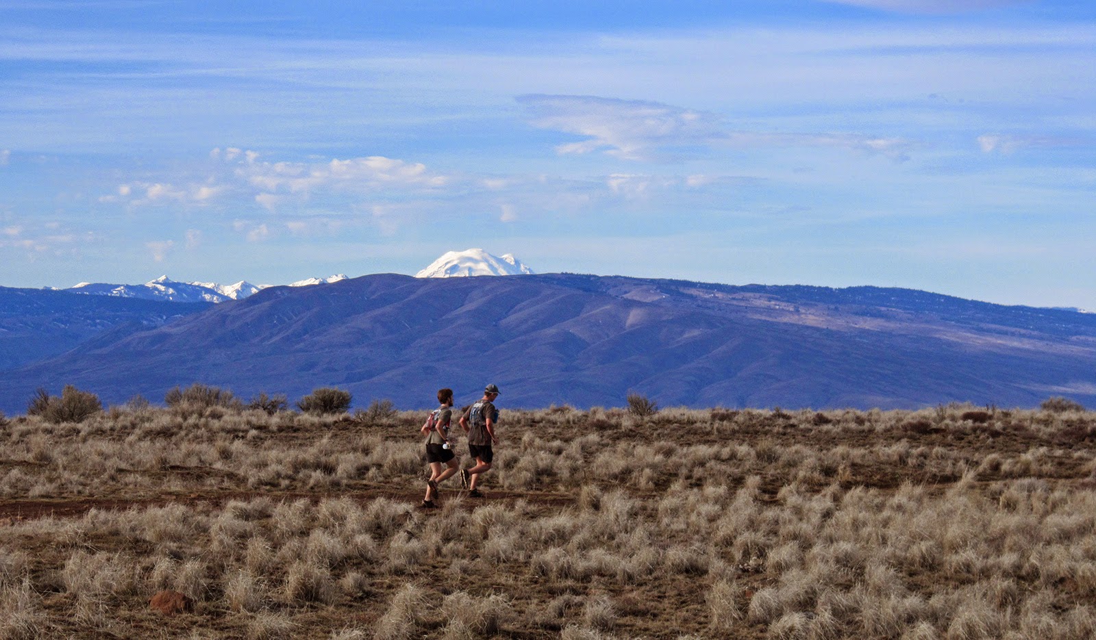
| Ethan, coming up the first climb to Umtanum Ridge |
 |
| The Stuart Range; Alpine Lakes peaks further west (Chikamin, Lemah, Summit Chief, Bear's Breast?) |
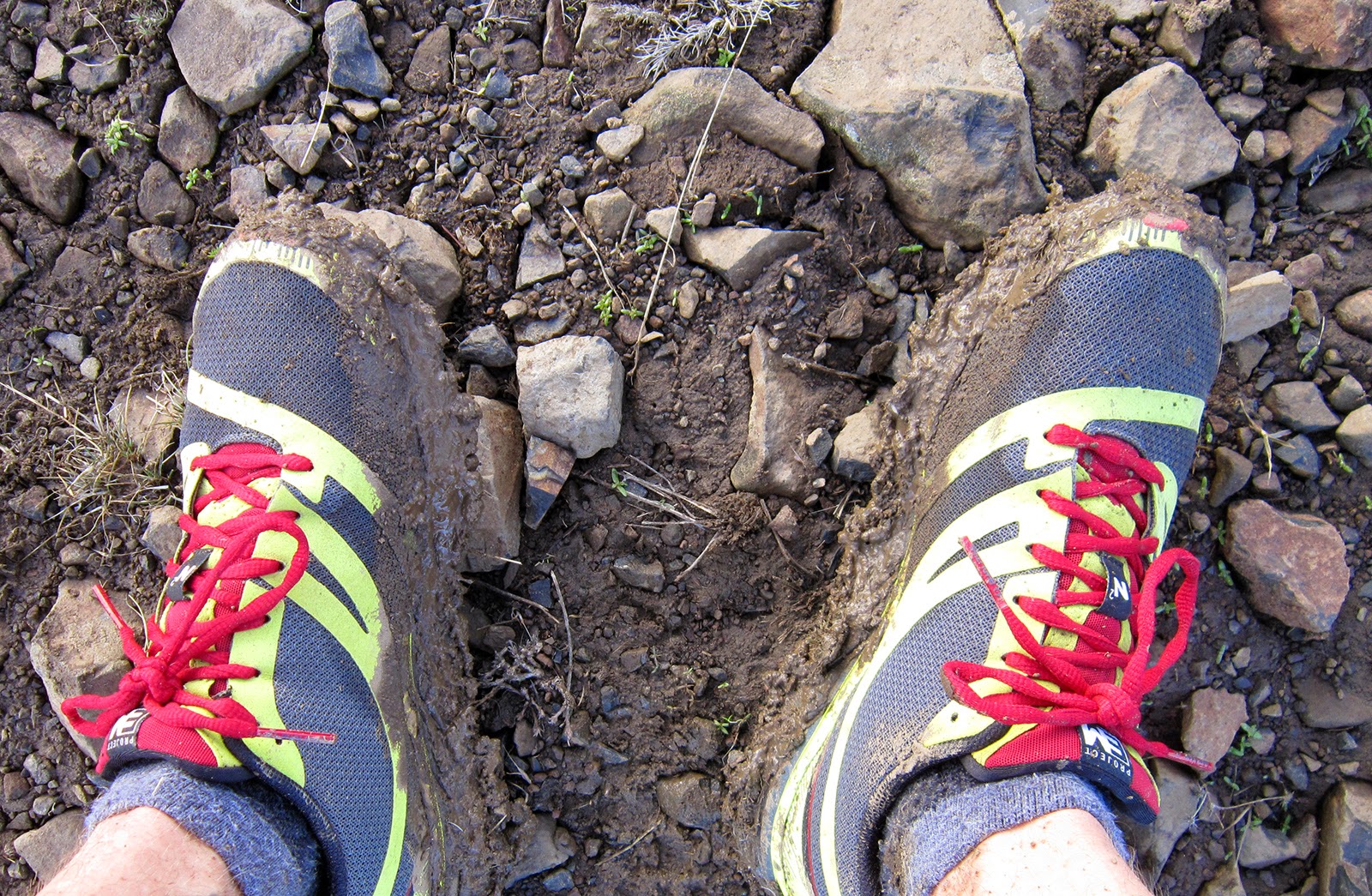 |
| Shoe-deadening, slip-and-slide mud |
 |
| Descending Umtanum Ridge to Roza Creek, second climb in the upper-left |
 |
| Aforementioned second climb... |
 |
| Bighorn |
 |
| Inversion fog seeping over a low ridge |
 |
| Top of the second climb, heading west down the ridge with Rainier |
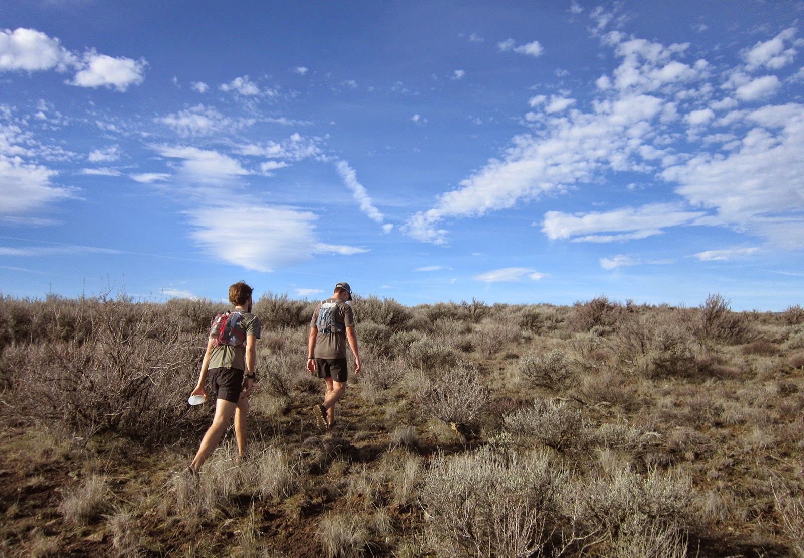 |
| Little bit of cross country |
 |
| Our route from the top of the second climb (center-left) followed the ridge down, then one mile of cross country to hit Old Durr Road; taken from near the top of western Umtanum Ridge |
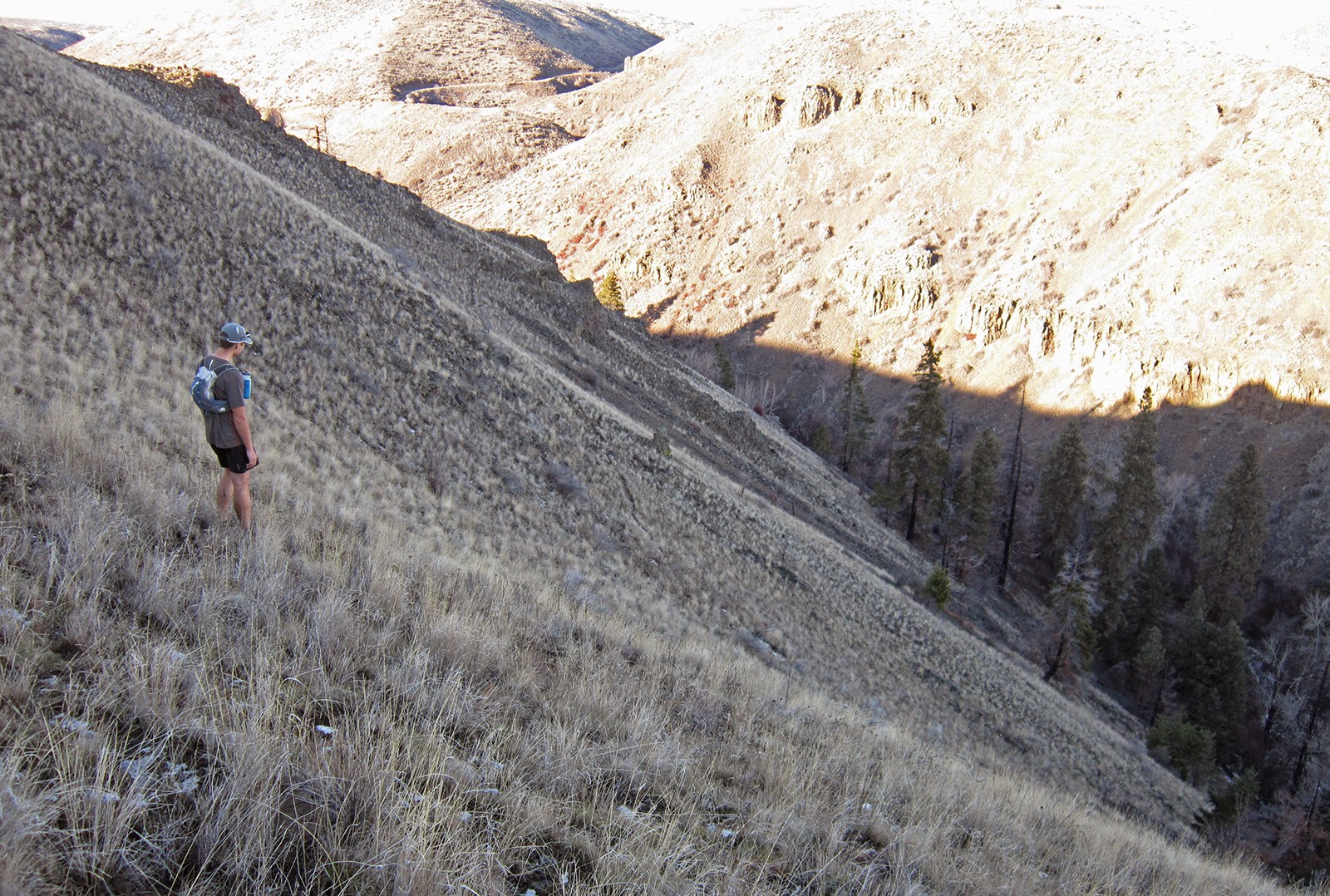 |
| Our trail-less descent into upper Umtanum Creek canyon |
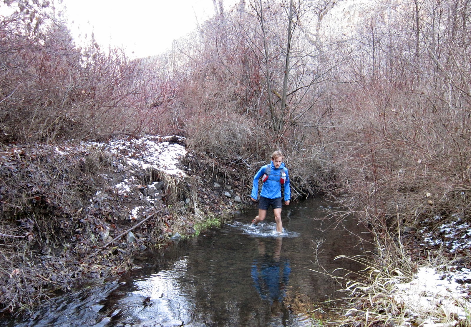 |
| I think we forded the creek eight times in the upper section before reaching the real trail |
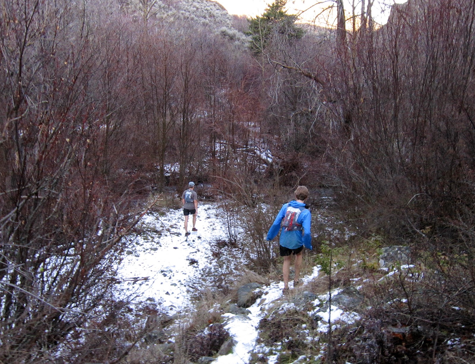 |
| A few prickly items, but not bad for the two miles to reach the trail |
 |
| Columnar-basalt in upper Umtanum Creek canyon |


No comments:
Post a Comment