Sunday, March 29, 2015

Baldy Mountain, Chelan Range

Dabbling in the southern portion of the Chelan Mountains provided a good mountain fix in a mostly-melted-out area that I'm keen to get back to later in the year (though further north up the Entiat River Rd).

We parked at the bottom of Potato Creek Road, ran up to 3700', went cross country up an easy ridge to meet the Mud Creek Rd at 5000', followed it to the SE base of Baldy, went up to the summit, postholed in deep snow on the north ridge, then got blasted by very strong winds as we headed out toward Stormy Mountain; turned around as the snow was too unconsolidated and ran the Mud Creek and Potato Creek roads all the way back down.

Thanks to fellow Pearl Izumi ambassador Kevin Douglas for joining. 

Potato Creek Rd


Starting the cross country climb
Upper half of the XC climb; nice and easy
Former fauna
Looking up at Baldy Mountain
Baldy Spring
Taking a break from the wind below Baldy summit
Headed to Baldy Mountain summit
Chelan Sawtooth range, Stormy Mountain, Four Mile Ridge, Klone Peak, Kelly Mountain, Tyee Ridge, Chiwaukum and Stuart ranges way back there
Descending north ridge of Baldy
A little deep..
Central Entiat range: Garland Peak, Devil's Smokestack, Fifth of July Mountain?
"Yeah, that wind is COLD"
Chiwaukum Range, Cashmere Mountain, Mt. Stuart, Enchantment Peaks
Eeek. Stay hibernating...


Monday, March 23, 2015

Sweeping Chuckanut 50k - v2

The Chuckanut 50k was my first ultra, so I guess I have a soft spot for being a part of the event. For the second year in a row I joined the old-timer sweep team led by Big Steve and cohort Andy. Kevin was able to join in and Michael from West Seattle rounded out the group.

A final few hours in sunny 60-degree weather helped forget the morning's rain and mud.

Unfortunately, there was way more garbage to be picked up this year than last...especially ripped-off gel tops.


Sunday, March 8, 2015

The Gorge, Mark O. Hatfield Wilderness 50k loop

Third trip down to the Columbia River Gorge with some new trails, a good group of guys and a smattering of warm spring weather.

We had a longer route planned, but the 30 miles we did still had 7,000'+ of gain; plenty for this early in the season, as it turned out. Our route started from the lower Eagle Creek parking lot: Buck Point/Ruckel Ridge, Benson Plateau, Pacific Crest Trail to Chinidere Mountain summit, Herman Creek trail to Tomlike Mountain out-and-back to summit, Wahtum Lake and exit via Eagle Creek.

Thanks to Ben for putting the route together and to Ethan and Will for coming along!

Bonneville Dam, from low on Ruckel Ridge
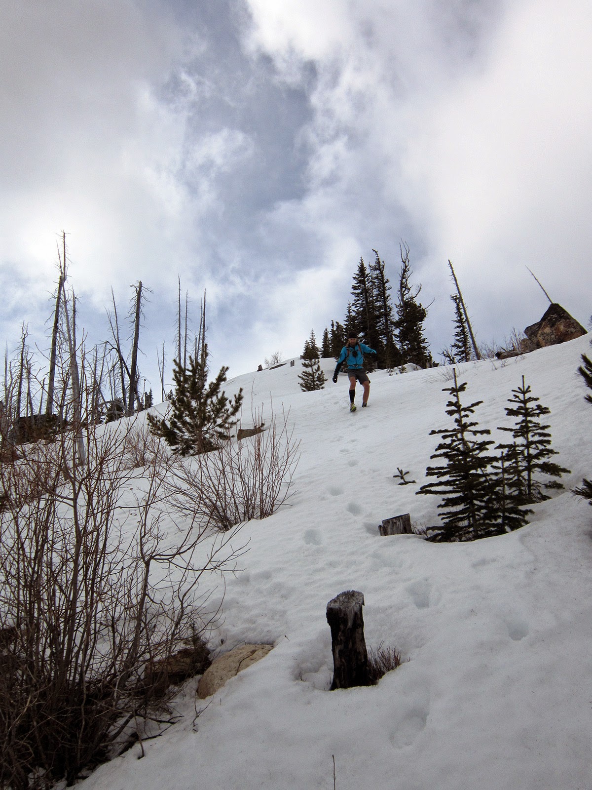
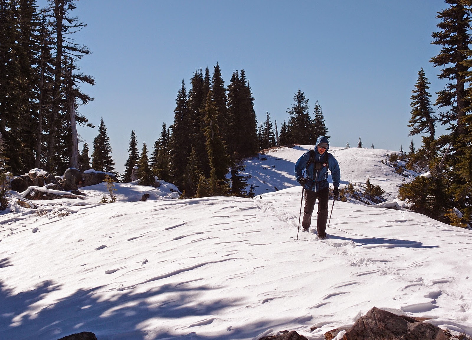
Heading up Ruckel Ridge; Will's photo
Will on Ruckel Ridge
Ruckel Ridge; Ben's photo
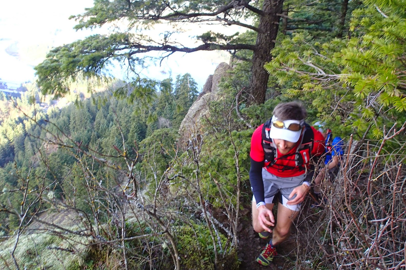
Ethan on one of the little catwalk sections on Ruckel Ridge
Ruckel Ridge; Ben's photo
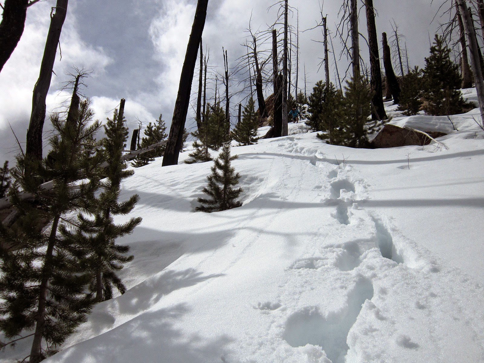
Upper Ruckel Creek on the Benson Plateau
Grassy forest on Benson Plateau
Ethan on the PCT with Adams and Rainier
Ethan's photo
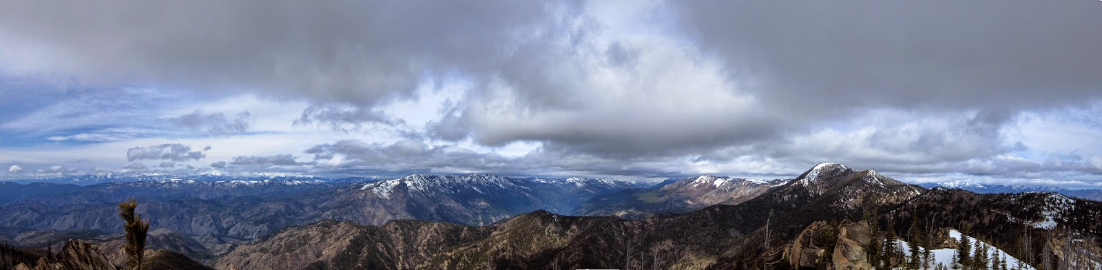
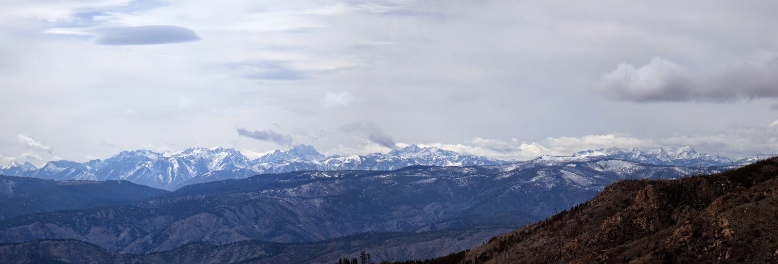
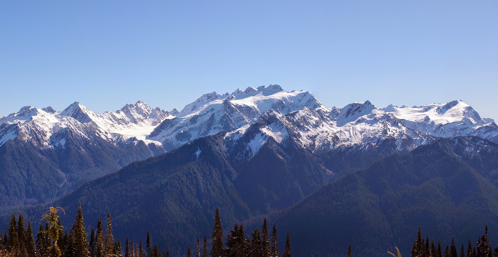
Chinidere Mountain summit, with the southern Washington volcanoes
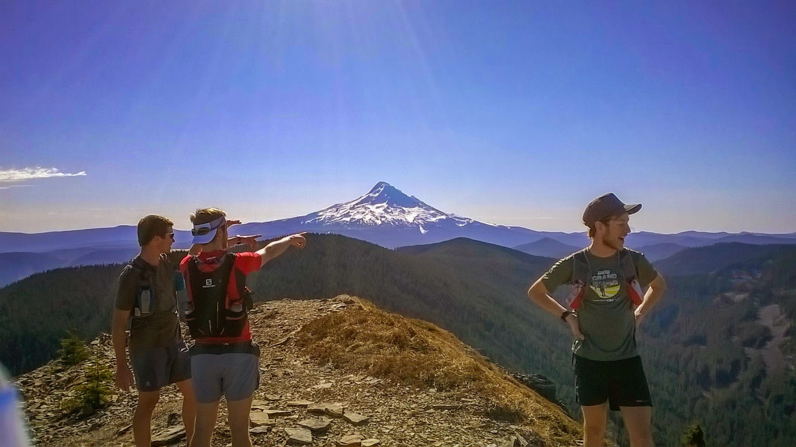
And Mt. Hood; Will's photo
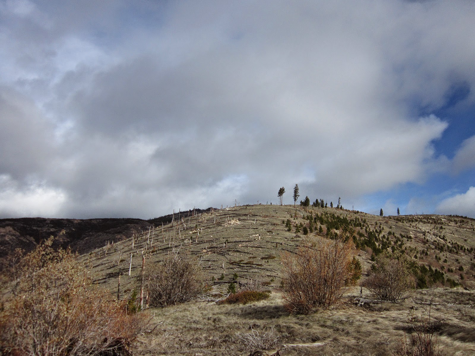
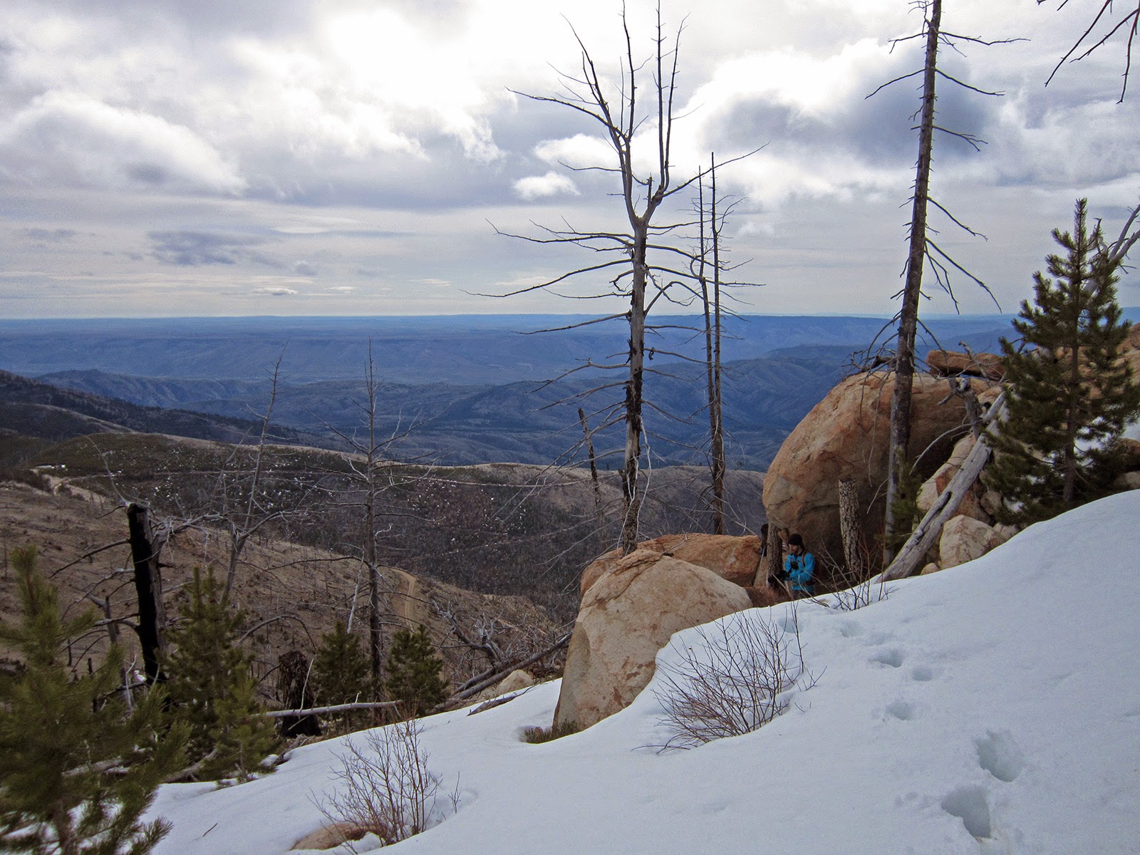
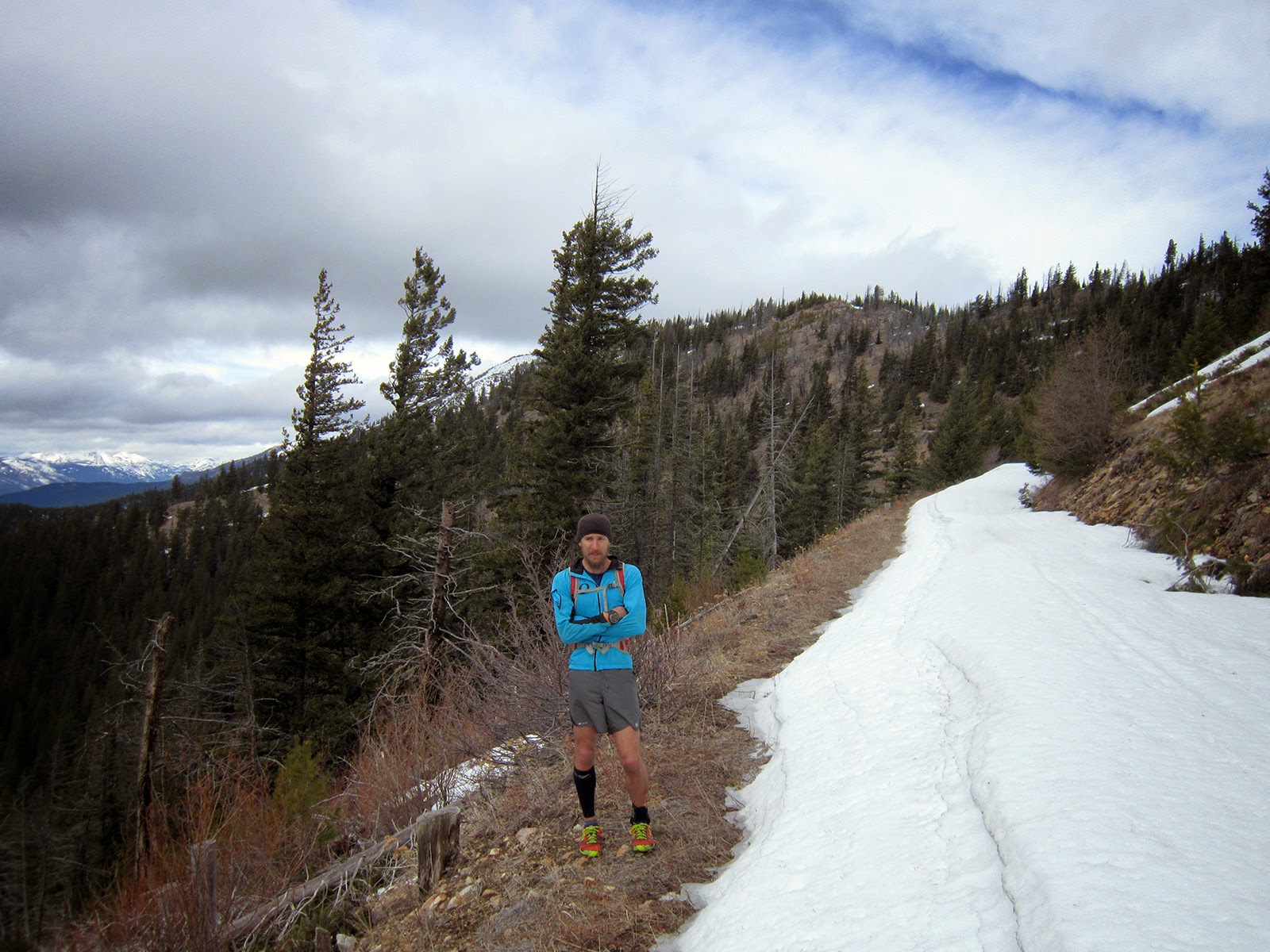
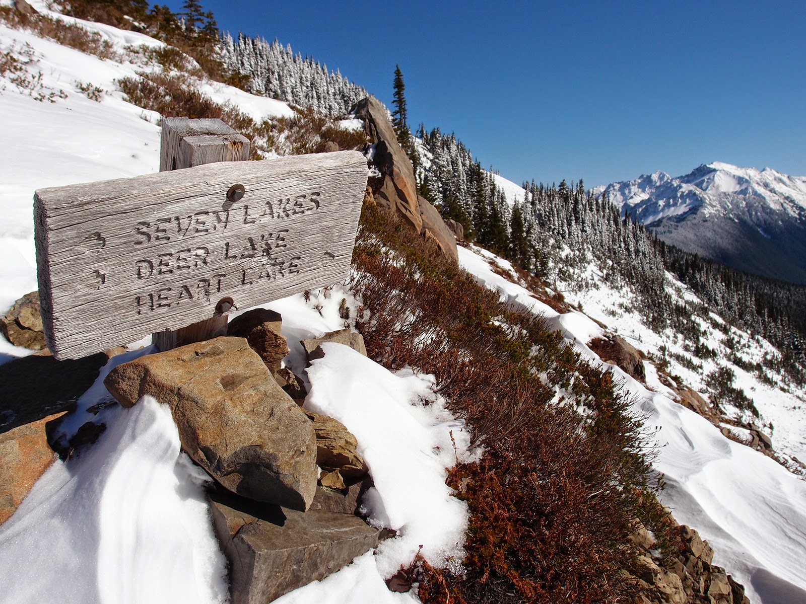
Headed to Tomlike Mountain, a super fun trail
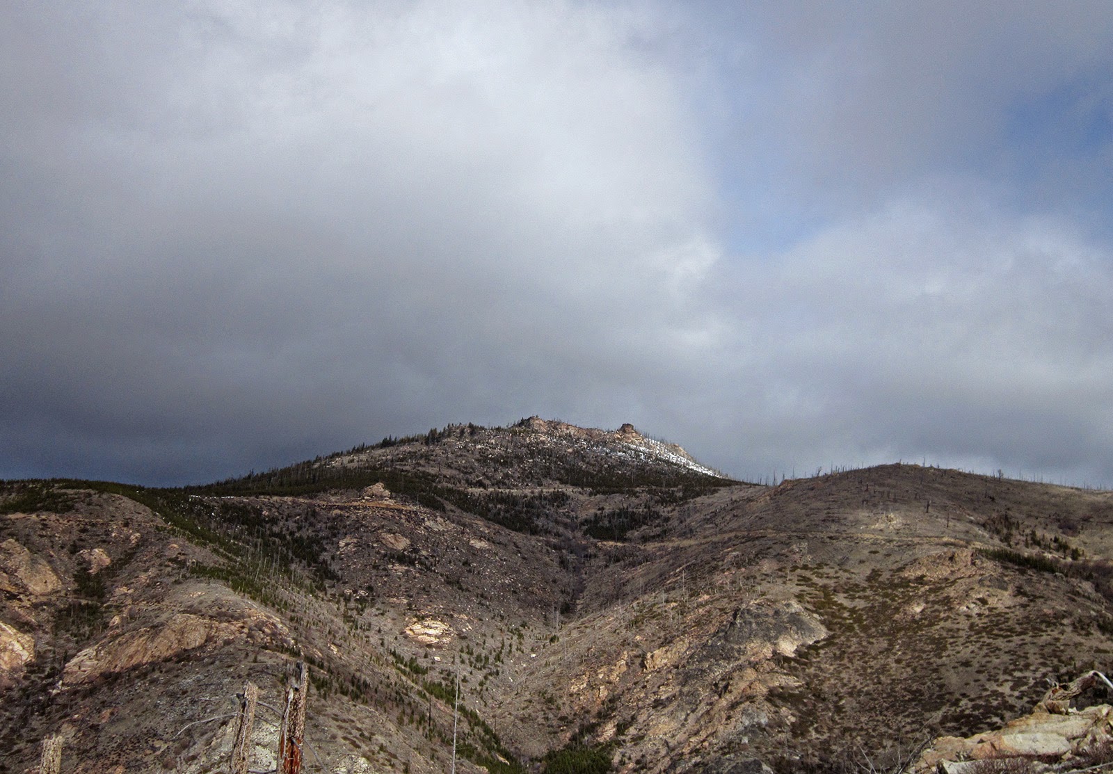
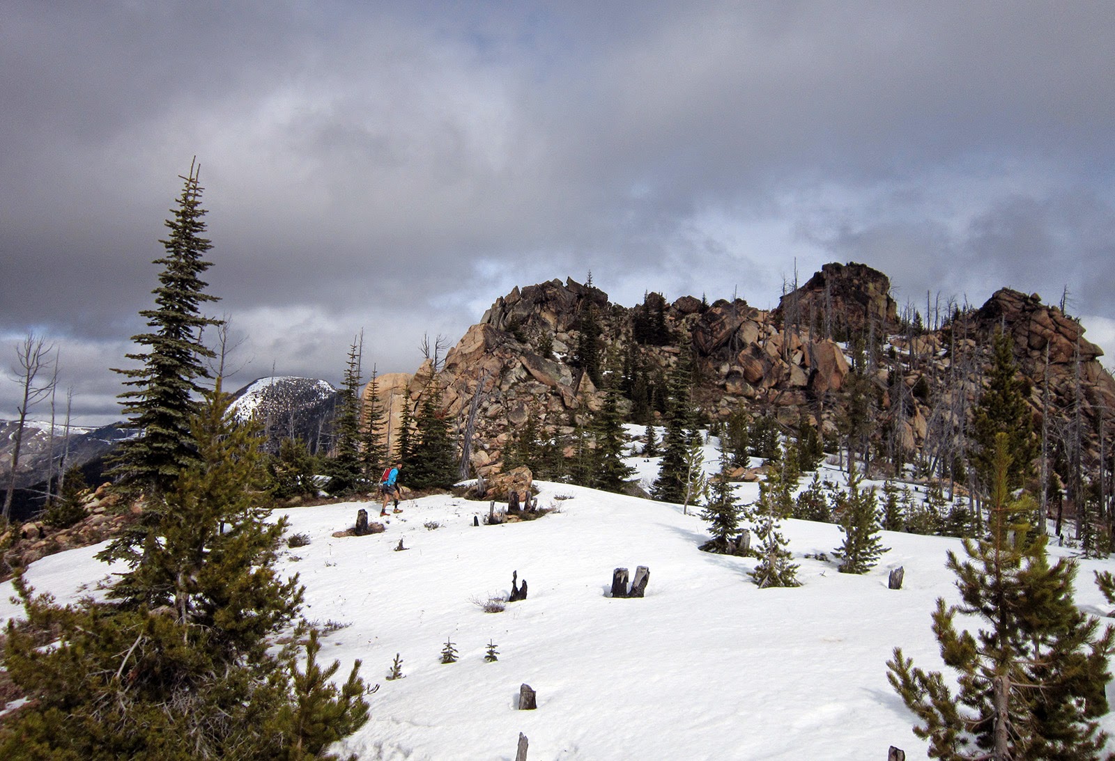
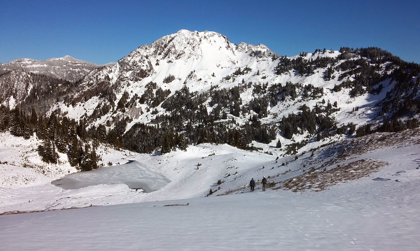
Ridge below Tomlike Mountain summit; Ben's photo
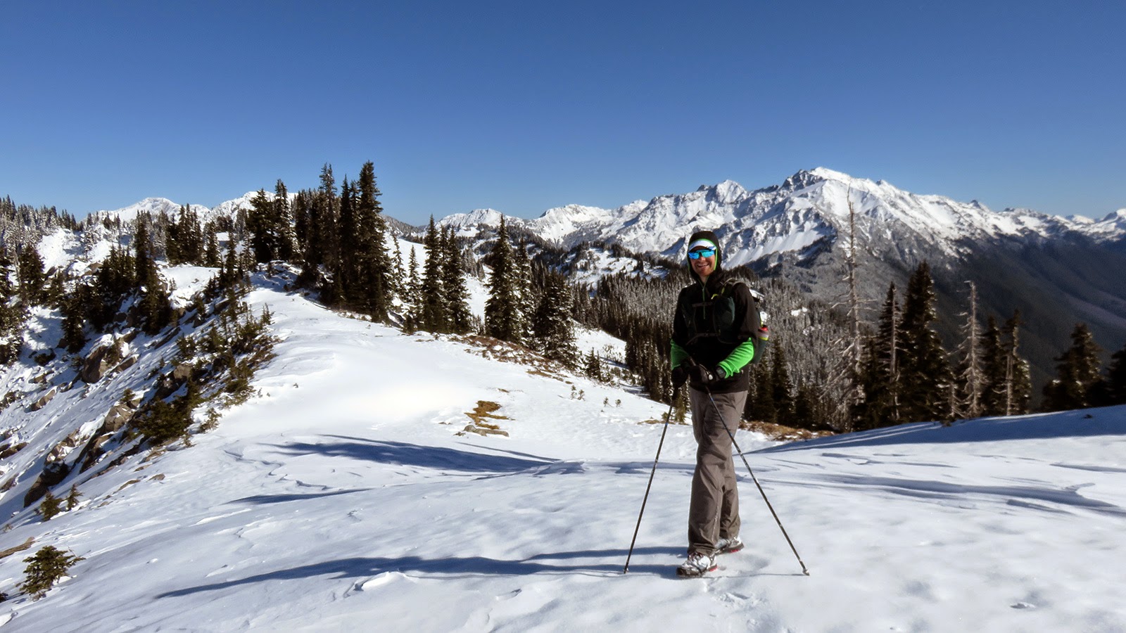
The boys on Tomlike Mountain
Ben descending from Tomlike Mountain
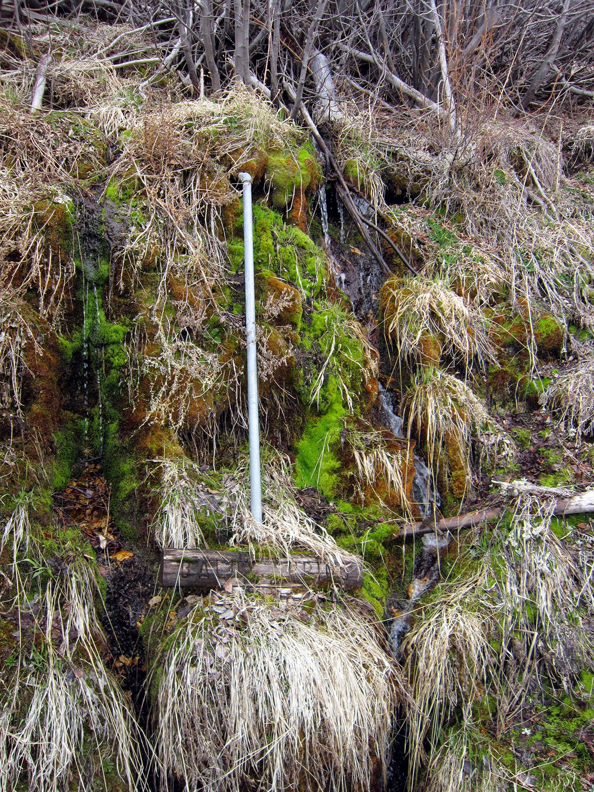
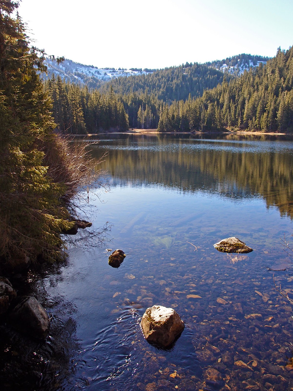
Falls in upper Eagle Creek
Upper Eagle Creek; Ben's photo
Will on the Eagle Creek trail; Ben's photo


Sunday, March 1, 2015

High Divide loop, Olympic National Park

The last time I was on the High Divide was 1997 as a young teen on an outdoor leadership program. I remember it being warmer; there were more bears and a healthy dose of pubescent insecurity, but equally-beautiful views.

It's another Washington classic that I unfortunately didn't make it to during summer or fall, and it's absurd to be able to do it on foot in February. Thanks to Sir Hikes and Jessica for the enjoyable day out there. 

Friday's snow was heavily windblown, resulting in some bare areas with only old, crusty snow and some fresh drifts a good 4'+. It mostly was just ankle-to-shin deep, with a few knee-deep sections, though. Never used any traction but poles were nice on some of the traversing sections. 

Deer Lake
Tarns above Deer Lake, Sol Duc valley in the background
Sir Hikes and Jessica, above the Bogachiel River headwaters
Approaching the switchbacks before Bogachiel Peak; Jessica's photo
Switchbacks before Bogachiel Peak; Sir Hikes photo
Jessica below Bogachiel Peak
High Divide above Seven Lakes Basin; Sir Hikes photo
Sir Hikes above Seven Lakes Basin with a good example of the snow drifts; trail traverses the slope below the small cliff band and toward the trees on the ridge
Seven Lakes Basin; Mount Appleton (l) and Cat Peak and Mount Carrie (r)
Sir Hikes on the High Divide

Mount Carrie (l), the Bailey Range and the Mount Olympus massif over the Hoh River valley
High Divide above Lake No. 8; Sir Hikes photo
Sir Hikes
Jessica; Sir Hikes photo
Mount Olympus from the High Divide
Descending to Heart Lake; Jessica's photo
Jessica descending to Heart Lake