Sunday, April 26, 2015

Thunder Basin, North Cascades National Park

An unexpectedly-glorious day in the North Cascades with Sir-Hikes-a-Lot. The 80% chance of thunder storms seemed to be caught on the peaks further west and we spent the day under blue skies and a warm sun.

There are 15+ blowdowns between the trailhead and the top of the switchbacks above Skagit Queen Camp, with only three requiring any work: two very large ones which need to be climbed over and one group of four or five 12" that can be walked around.

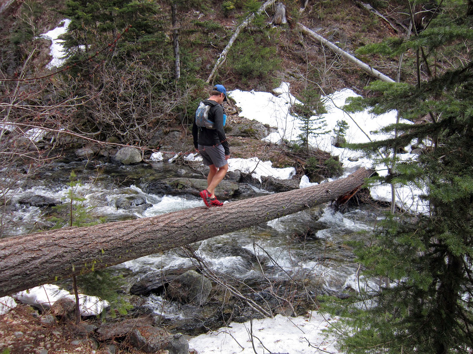
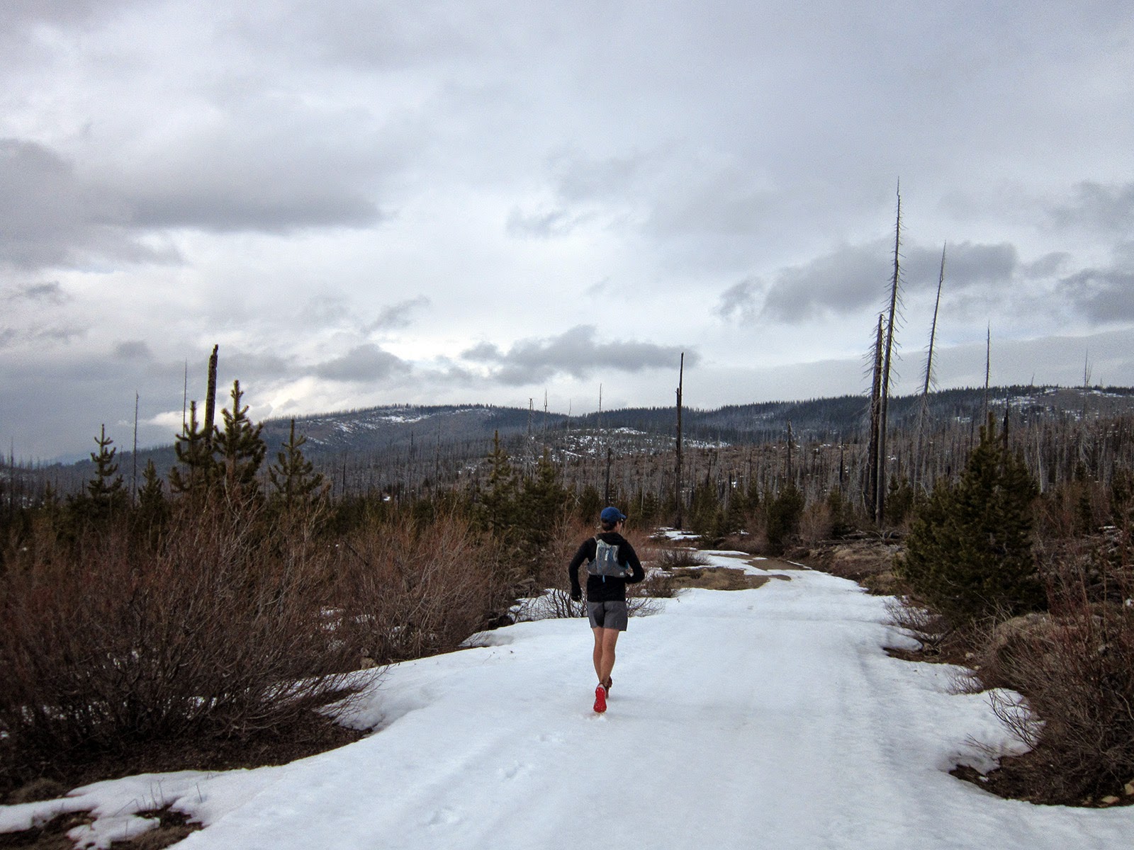
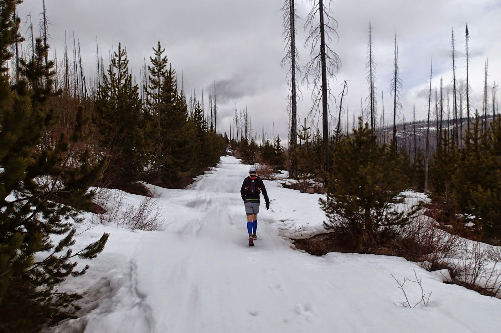
The trail is snow free until ~4200' (at the top of the switchbacks above Skagit Queen). Expect consistent soft and melting snow from there all the way through the basin (18-24" and melting fast; lots of postholing over rocks and brush). On the way up we crossed Thunder Creek early, however we followed the trail on the west side on the way back, which probably was quicker and a little more straightforward.

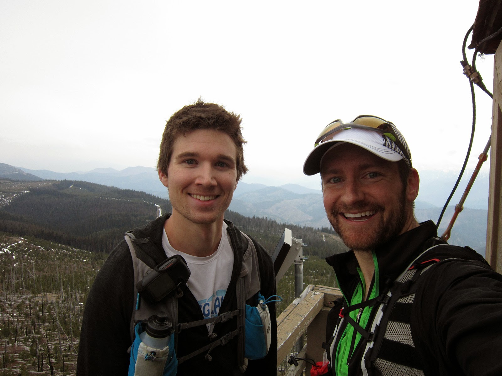
Only saw one party of two near McAllister Camp on our way out. A very special place we got to enjoy...

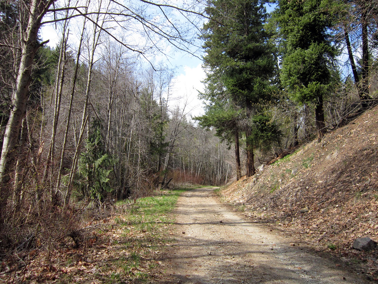
Early on the Thunder Creek trail
Thunder Creek; pretty low flow
Thunder Creek before McAllister Camp
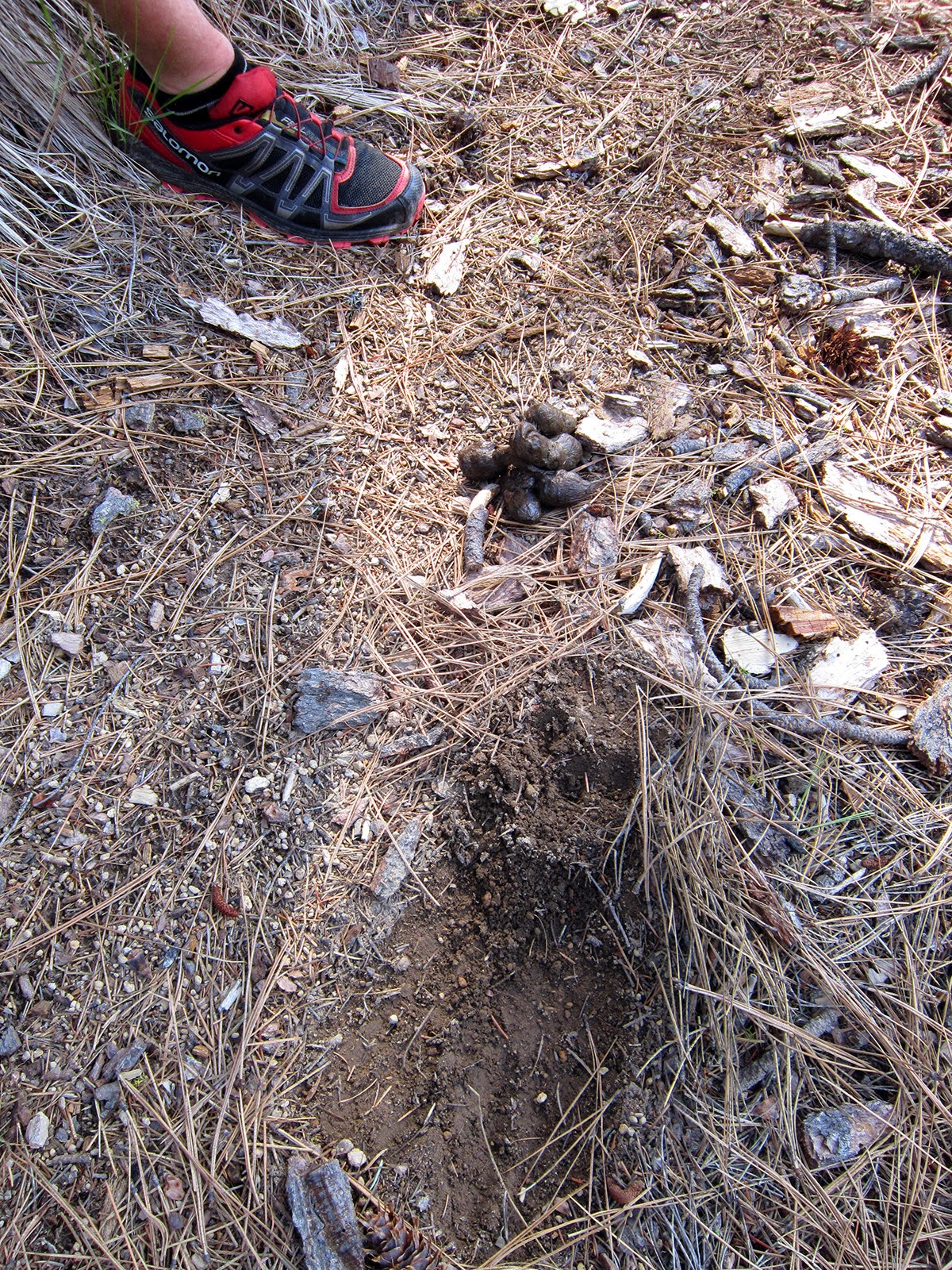
Always have to check out cougar scat
North ridge of Forbidden Peak from Junction Camp
Falls on the east face of Tricouni
Looking up the West Fork of Thunder Creek toward Mount Torment and the ridge running northwest to Eldorado Peak
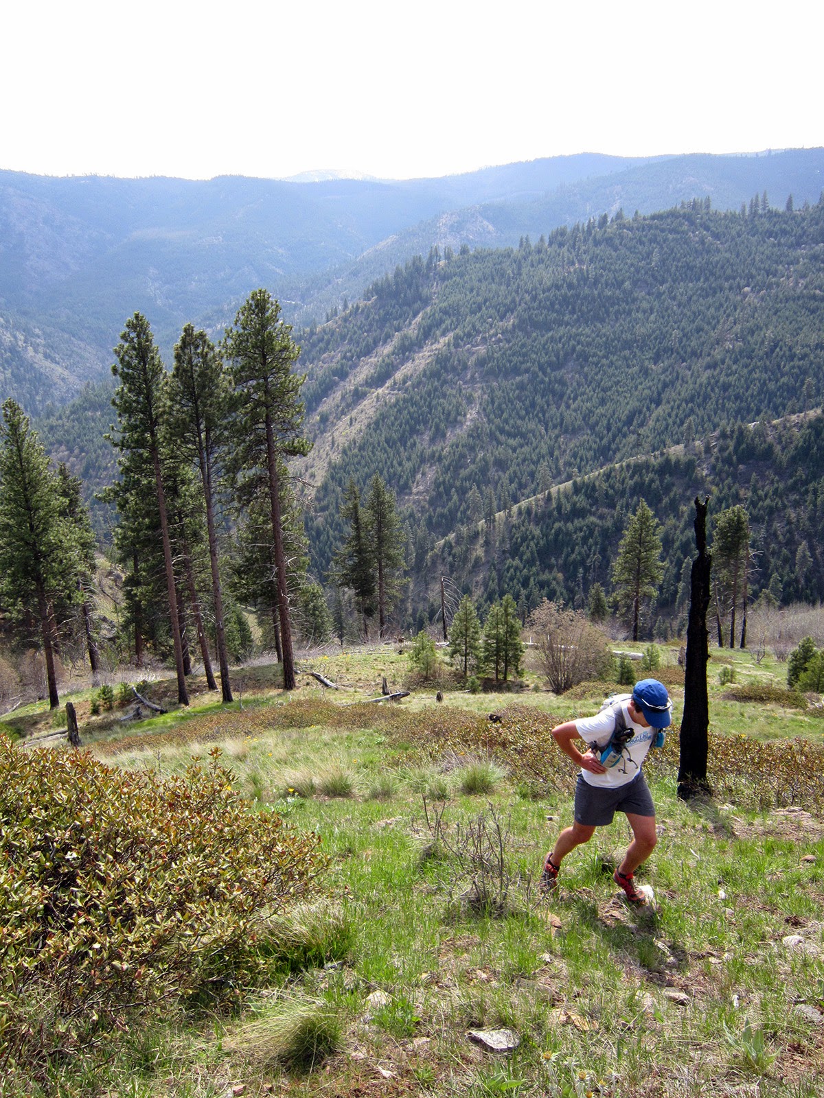
Sir Hikes switchbacking above Skagit Queen
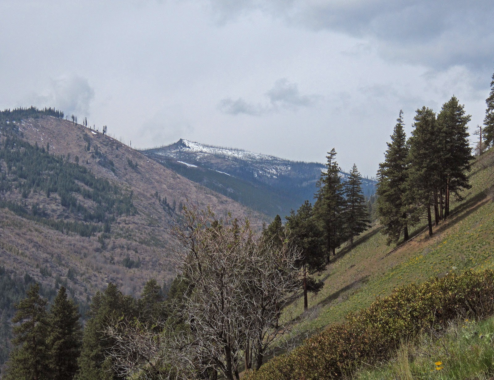
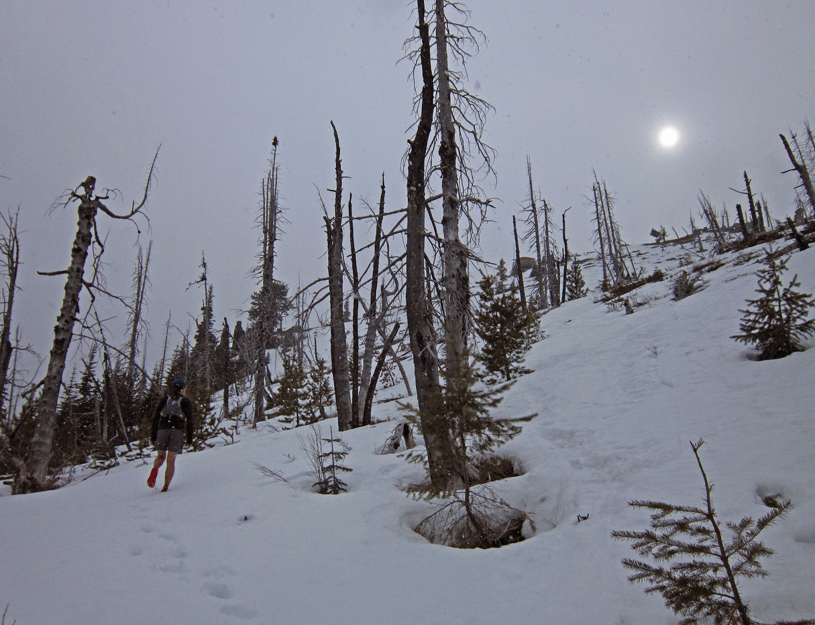
Light dusting on the Skagit Queen switchbacks
Upper Thunder Creek; doesn't get any more clear
Breaking trail to Thunder Basin
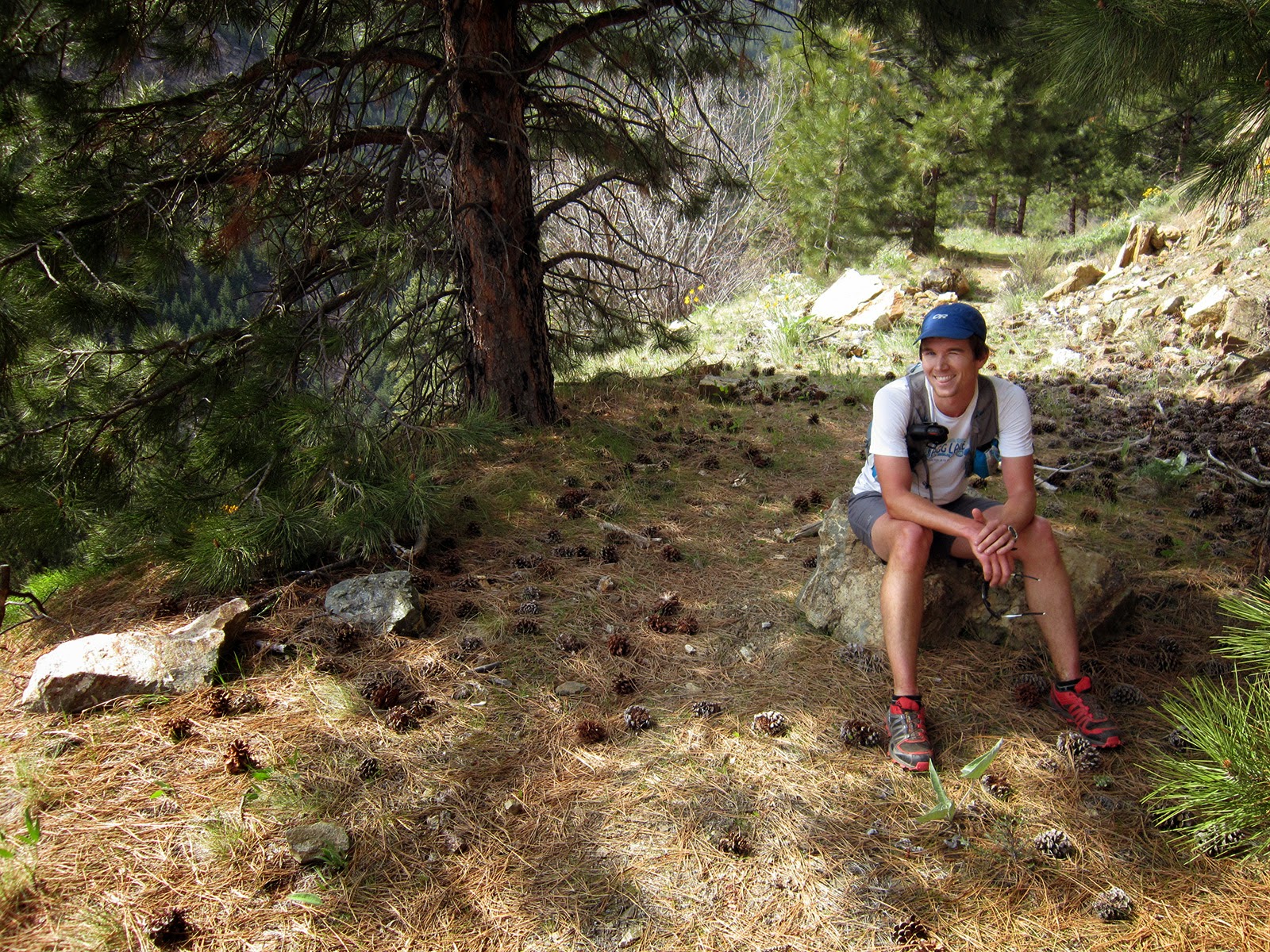
Sir Postholes a Lot
Point 8248' (?) on Mt. Logan
Lower Thunder Basin
Thunder Basin
East flank of Buckner Mountain (I believe the summit is not visible, behind the right high point) over Thunder Basin; Park Creek Pass in the obvious notch behind the trees in the lower left

Small slide coming down
Impressive cornices on Buckner's east ridge
One last look...I think Buckner's summit now visible in top right
Park Creek Pass and Point 7945' on the south ridge of Mount Logan; taken from the Thunder Creek ford
Postholing along Thunder Creek on the way out
The elusive "posthole-dive forward" move
Skagit Queen-area mining relics
The Boston Glacier and Ripsaw Ridge, from Junction Camp
Back at the same bridge crossing Thunder Creek just before sunset


Sunday, April 19, 2015

Yakima Skyline 50k - 2015

From freezing fog and mud in January to Saturday's sun and warm spring temperatures (high of 78), Yakima seems to throw an extra element in there. Collective suffering seemed to be the prevalent theme of the day...

Thank you to the whole crew of running buds I got to run or at least spend time with (Dave, Kevin, Ethan, Richard, Matthew, Ian, Greg, Will), team Rainshadow and all the volunteers.

I'm not planning on running any races until September (at the earliest), so back to the mountains for me!

Pop-tarts, frappuccino and beer, Friday night at the Ellensburg Econo Lodge 
Ethan, me, Kelly, Kevin and Richard; Dave's photo
Start at the Umtanum Creek Recreation Area; Dave's photo
Bottom of the first descent; Will's photo
Glenn Tachiyama photo
The spring/horse trough: hold your nose while splashing around; Dave's photo
Nice to see Dave, Mathew and Ian sweeping the course; my mile 20

The Yakima River along the course; Dave's photo
Glenn Tachiyama photo
Sweeps giving encouragement to all-smiles Greg; Dave's photo
Halfway up the opening climb/down the final descent; Dave's photo
And yes, the toughest 50k race I've done...

Pearl Izumi Trail N2, Ultra Split Short, Fly shirt, ambassador singlet, Drymax Trail Lite sock


Saturday, April 4, 2015

Mad River-Sugarloaf Peak loop, southern Entiat Mountains

It is that difficult shoulder season that usually doesn't come until May: stay low and out of the snow, or go for something mid-altitude and deal with some slush and mud.

Choosing the latter, we put together a route in the southern Entiat: parking at Deer Camp we went up to Maverick Saddle, down the Mad River canyon to Pine Flats, took Mad River-Tillicum-Indian Creek roads and a steep cross-country climb up to Gold Ridge, up the ridge to Sugarloaf Peak, then Entiat Summit Road back to Maverick Saddle and down to the car.


Running almost the entirety of the Mad River Canyon was the highlight and the lower portion I hadn't done was very cool; a lot of cougar activity through there as well.

Cashmere, the tip of Stuart, Enchantment Peaks
Dropping down to the Mad River from Maverick Saddle
Mad River crossing
Ben's animation
Upper Mad River
A tree has outgrown its signs
Upper Mad River
Tyee Ridge Trail; "don't go that way!" Ben's photo
Fresh male cougar scrapes and scat
Miner's Ridge from Mad River
Cougar tracks; midway down Mad River
Balsamroot
Climb away from the river where it's a gorge...
...and dropping back down
Lower Mad River canyon
Balsamroot in Indian Creek canyon
Indian Creek FS road
Cross-country climb from Indian Creek to Gold Ridge
Pausing on an old fire road bed, halfway up the climb
Aspen grove on the old fire road bed
Second half of the climb to Gold Ridge
Sugarloaf Peak looks too far away
Reaching Gold Ridge
Where I was last weekend: Baldy Mountain center-right; Stormy (center), Four Mile Ridge and Tyee (far left)
Grouse
Shortcut toward Sugarloaf as the weather moved in
Snowing as we near Sugarloaf summit
He's just kidding...I hope...
Buddy photo at the Sugarloaf Peak lookout
Entiat Summit Road
Entiat Summit Road; Ben's photo
Looking back south toward the Chiwaukum, Cashmere-Stuart and Enchantment Peaks in the afternoon