Sunday, June 28, 2015

Pasayten Wilderness: Amphitheater Mountain, The Pope, Apex Mountain

Last winter 
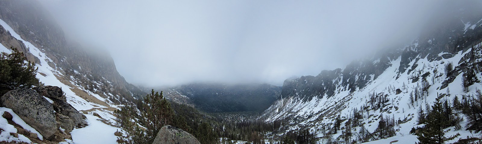
Ethan and I planned a Pasayten Wilderness mega-excursion, summiting a whole bunch of the Eastern Pasayten's highest peaks over a ~70-mile lollipop. I was also interested in seeing all the views I'd missed on the same trails in June 2014 (1' of fresh snow, clouds, fog).

The way our schedules aligned, however, had us going out yesterday into a Heat Advisory where it hit 105F in Winthrop and the point forecast for 7600' was 80F. The summer of 2015/2070 has not been good to me. I'm a cool-weather guy and long days at high temperatures continually have shut my stomach down; a problem I've never had in not-hot weather.

Trying to beat at least a little of the heat, we left Aunt Janie's cabin at 2:29am, were at the Thirtymile Trailhead an hour later and hit the trail at 3:51am. It was already 65F out.

High motivation had us on top of our first peak, Amphitheater Mountain 8358', in 4:40 elapsed at 8:30am. We descended Amphitheater and got on the Boundary Trail through Cathedral basin, over the pass and descended to where the trail passes slabs below The Pope 8264'.

We started the climb up at about 10am and it was steep, hot and south facing. It really took it out of us and we were tired on the summit, even though the views from the top were great: first time we'd seen the border swath and Canadian peaks in Cathedral Provincial Park. We descended and headed over to Apex Pass to climb Apex Mountain 8297'.

It's a long slog up and we reached the false summit and took a little break before heading over to the true summit further south. Something about sitting down seems to induce the sickness I've had on hot days; the rest on the summit incited my fall into an unpleasant afternoon and early evening (which was not much fun for Ethan either).

We made our way over to Wolframite 8137' which Ethan summited as I rested in the shade off the trail, trying to turn things around. By the summit of Apex we already were behind schedule and now it was 1:30pm and entering the hottest part of the day.

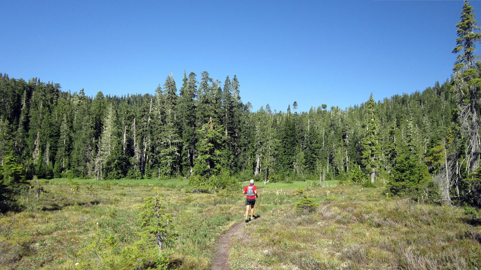
Tungsten Creek was the only bail option on our entire route, so we pointed south and started back toward the Thirtymile Trailhead. It was a sad second half to the day as we both had a great time during the first ~8 hours, covering 28 miles and summiting three 8,000'+ peaks.

Pretty sure I owe Ethan a six pack...or two...

On the plus side, we didn't see another person all day and my new Pearl Izumi N3 was great and probably will be my 50m+ shoe going forward (make one with a trail outsole!).

Relevant trail conditions:
  • Chewuch River trail: lots of dead fall through the burn (50+); decent shape after that. All streams can be crossed staying dry. 
  • Boundary Trail (Cathedral to Tungsten): Good shape, no issues. Good stream below The Pope, most others were trickles.
  • Tungsten Creek: OK shape, some dead fall/blowdown, but better than Chewuch. 

3:50am
Approaching Amphitheater Mountain on the Lesamiz cutoff trail
Pano looking west from Amphitheater Mountain 8358'; from Baker to Remmel
Amphitheater summit
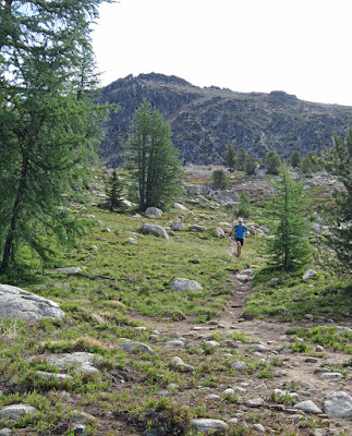
Descending Amphitheater through larches
Upper Cathderal Lake and the north face of Amphitheater
Cathedral Lakes basin
East side of Cathedral Pass; same view from June 2014.
Climbing The Pope 8264'; summit visible above Ethan
US-Canada border swath west, from the summit of The Pope
Sheep Mountain, Cathedral Peak, Amphitheater Mountain, Remmel Mountain; from the summit of The Pope
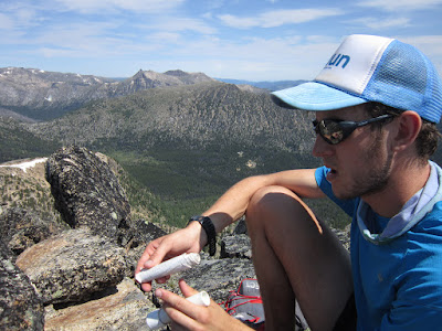
Signing The Pope summit register
Canadian peaks: Matriarch, Grimface, The Pyramid, The Deacon, Orthodox
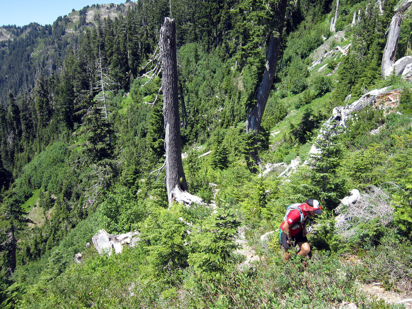
Feeling a little beat on The Pope
Approaching Apex's false summit; true summit back left

Apex Mountain 8297' summit register
Descending Apex back to the pass
Butterflies along Horseshoe Creek on the way back to the trailhead


Sunday, June 21, 2015

Snowfield Peak, North Cascades National Park

A couple of times a year stepdad Steve and I get out together, usually so he can add to his tally of North Cascades summits accumulated over the last 50 years. While he had climbed Colonial Peak in 1967, he hadn't been back to the Colonial-Snowfield group since.

I'm glad he got to add Snowfield Peak to his resume...and in a day, no less (just under 12 hours car-to-car)! As usual, I opted out of the summit scramble and relaxed on the west ridge eating Pagliacci's and draining my camera battery.

No issues with the Pyramid Lake and climber's trails; no crevasses on the Colonial Glacier, but a handful already are starting to open midway up the Neve Glacier. Currently you can either step/hop over them or use some snow bridge-islands to two-step across, though with the upcoming forecast they could open quickly. 
First views of Colonial Peak as the climber's trail breaks out on the ridge
Climber's trail, with Davis Peak and the Southern Pickets
Davis Peak and the Southern Pickets
Starting the traverse to the Colonial Glacier
Dikes in the Colonial Glacier moraine
Colonial Glacier, headed toward the Colonial-Neve col (center-left)
Colonial-Neve col with the first view of Snowfield Peak
Snowfield Peak and the Neve Glacier
Midway up the Neve Glacier; the obvious uphill section in the middle of the previous photo

Upper Neve Glacier and Snowfield's west ridge
The Needle (?) and The Horseman
Looking north from Snowfield's west ridge: Hozomeen to Fury
Looking south: Tepeh Towers to Big Devil, with Eldorado towering
Steve headed toward the summit scramble
Luna, Redoubt, Mox Peaks, Spickard; Davis and Elephant Butte in mid-ground
Impressive McAllister Glacier with the summit of Eldorado hiding
The only people we saw all day: party of five descending the Neve Glacier behind us
Traverse back to the ridge and climber's trail
"Lily Pad" tarn and Colonial Peak
Pyramid Lake trail
65 and still rocking 17-mile, 8k' gain days...in jorts


Monday, June 15, 2015

Skyline-North Fork Quinault loop, Olympic National Park

At 47 miles and 11,000-12,000' of gain, the Skyline-North Fork Quinault loop is an Olympic National Park classic. Alpine lakes, miles (upon miles) of ridges and basin traverses, difficult trails, old growth and wildlife; it ticks all the boxes for a great trip. It is, however, quite hard (at least for me)...

The Three Lakes and first part of Skyline Ridge trails to Kimta Peak are in very good shape. Beyond Kimta, until reaching the Low Divide, the primitive trail lives up to its name. No route finding issues (besides following dueling sets of cairns through the "moonscape"), just technical and slow with a few sketchy steps. Seems like blowdowns have been cleared in the last couple of years as well. The North Fork Quinault trail also was more technical and slow than we expected, and with quite a few crawl-under or climb-over blowdowns. The ford is a nonissue (shin deep).

Big thank you to Richard for joining me on this one.

Bridge felt like overkill, though the debris flows suggest otherwise; North Fork Big Creek
North Fork Big Creek
World's largest Yellow (Alaska) Cedar

Bear Grass out along the entire route
Three Lakes
Tarn along Skyline Trail

One of a group of three male elk
Chomping grass, near Three Prune Camp
In the very-well-marked "No campfires beyond this point" zone...arg!
Headed toward Kimta, with the Queets River
Mt. Olympus massif from the south
Pacific Ocean under a layer of fog
Queets River
At the northern end of Skyline Ridge (west bump of Kimta Peak)

Puppy Dog Richard's boundless energy is always evident
Turning east below Kimta Peak, headed for the old burn at right
Wonderful spring just before the burn
Working through the burn...
...and then the "Moonscape"; with Mt. Noyes, Mt. Seattle and Mt. Christie and the Low Divide in the middle
Dropping to Seattle Creek, with Noyes and Seattle
East face of Point 5689'
Looking back at the north-eastern section of what we traversed
Mt. Christie, 6177'
Quinault side of the Low Divide
It takes a lot to beat this one up
North Fork Quinault "ford"
Up and around easier than Richard's beta; 
Racing the sun down the North Fork Quinault River