Stormy Mountain is the dominant peak of the southern Chelan Range. When Kevin and I attempted it
last March after summiting Baldy Mountain we were turned back by thigh-deep postholing and a nasty wind. Yesterday, with a decent snowpack, snowshoes and reasonably-good forecast I was hoping to do Stormy's entire southwest ridge (~7.5m and 6000' gain just for the ascent).
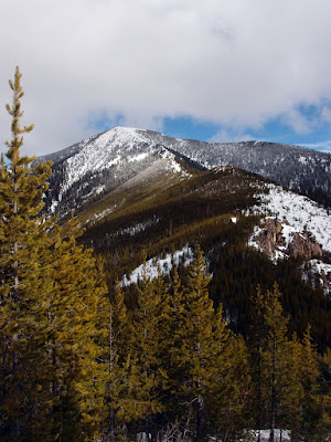
 |
| Stormy Mountain SW ridge route as seen from Baldy Mountain (March 2015) |
I ended up making it to point 5731' in just under four hours and getting blocked by the outcrops: the north side had a ton of wind-blown snow and a 4' cornice, while the south side had melting snow on a rock slab with a bad runout. Detouring back along the ridge, dropping down 50-75' and then contouring on the north side through the thick regrowth to regain the ridge past 5731' would definitely go (see ridge photo below).
A shorter winter route goes from the west side of the mountain off of road 5501, but I was unfortunately drawn to the long and sinuous SW ridge. Next time I'll just have to go back and summer when you can practically drive to the summit!
Snow conditions were good in the morning (quite firm and I didn't put on snowshoes until 4400') but by noon everything was sloppy and melting; mashed-potato mush. I wore my snowshoes all the way down to 3800' where I hit dirt. Even if I had reached the final summit ridge, which was fully exposed to the sun, I'm not sure how I would have felt about the conditions.
 |
| Entiat River Rd, Entiat River and the beginning on Stormy's SW ridge |
 |
| Looking up at Stormy (l) and Baldy (r), from about 3900' |
 |
| Canid tracks were plentiful around 4500-5000' |
 |
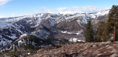
| Looking up the Entiat valley to the central Entiat Range on the left (Kelly, Klone, Devil's Smokestack area) and the northern Chelan Range on the right (Duncan Hill and ridge) |
 |
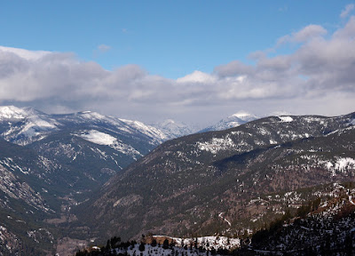
| Stormy's SW ridge from 5247' |
 |
| SW Ridge from 5321'; Point 5731' is the higher-up outcropping area in the middle of the regrowth. The north side of the ridge (left) appears to be an easy work around, though the tree regrowth is pretty dense. |
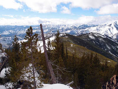
 |
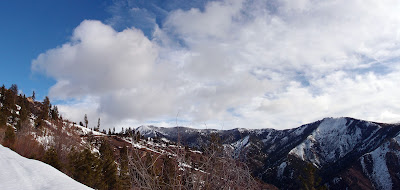
| At least the mountains are in focus |
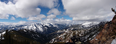 |
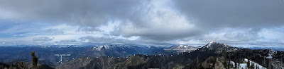
| Pano from 5731': Fourmile Ridge on the right, Tyee Ridge on the left |
 |
| Looking back down the ridge from 5731' |
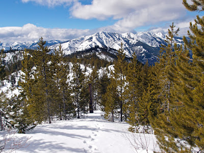 |
| Following my tracks out |


