Monday, May 30, 2016

Bear Skull Mountain 7330', Pasayten Wilderness

After two trips on the East Bank of Ross Reservoir in 2013 I'd pretty much had my fill (Desolation Peak, Devils Dome Loop). Unfortunately, sometime this winter during a CalTopo browsing session I saw Bear Skull and Spratt mountains. I would have loved to do Spratt, but up on top of Bear Skull it was pretty obvious it was going to be at least an hour each way. Maybe in another year or two I'll go back...
  • East Bank Ross: well maintained.
  • Devils Dome: maintained only until the Wilderness boundary. 26 blowdowns from the boundary to Dry Creek Pass (majority are the same ones that were there in 2013). Snow free up to the pass at 5900', solid snow beyond. Streams flowing at ~4000', 4500' and 4700'. A few sections are becoming moderately brushy. 
A surprisingly decent day for wildlife too, considering how popular of an area it is: nice milk-chocolate-colored bear at 4800' on the Devils Dome trail, four deer, two very close pileated woodpeckers, lots of grouse up high, garter snake, two small falcons I couldn't get a good enough look at, lots of cougar scat on the Devils Dome trail. Not so good wildlife: picked three ticks off my knees (religiously checking all day).

East Bank Ross Reservoir Trail, nearing Devils Creek
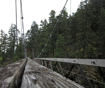
The very cool Devils Creek bridge
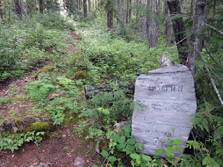
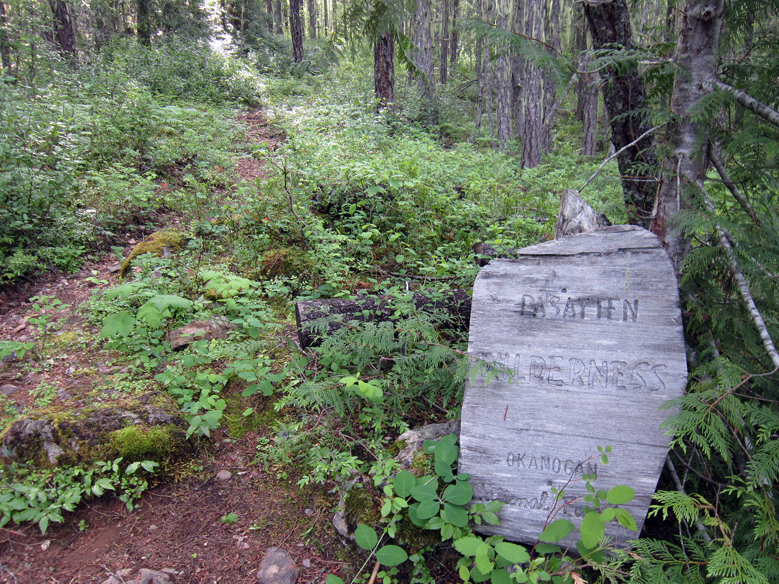
Yay for Wilderness! Unmaintained beyond...
Lots of cougar scat around
Waterfall on lower Jack Mountain
Chocolate Lilies were plentiful
Balsam Root on the Devils Dome trail at 5100', Jack Mountain beyond
Jackita Ridge snotel
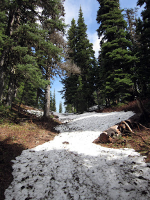
Snow starts exactly at Dry Creek Pass (30 yards ahead)
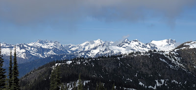
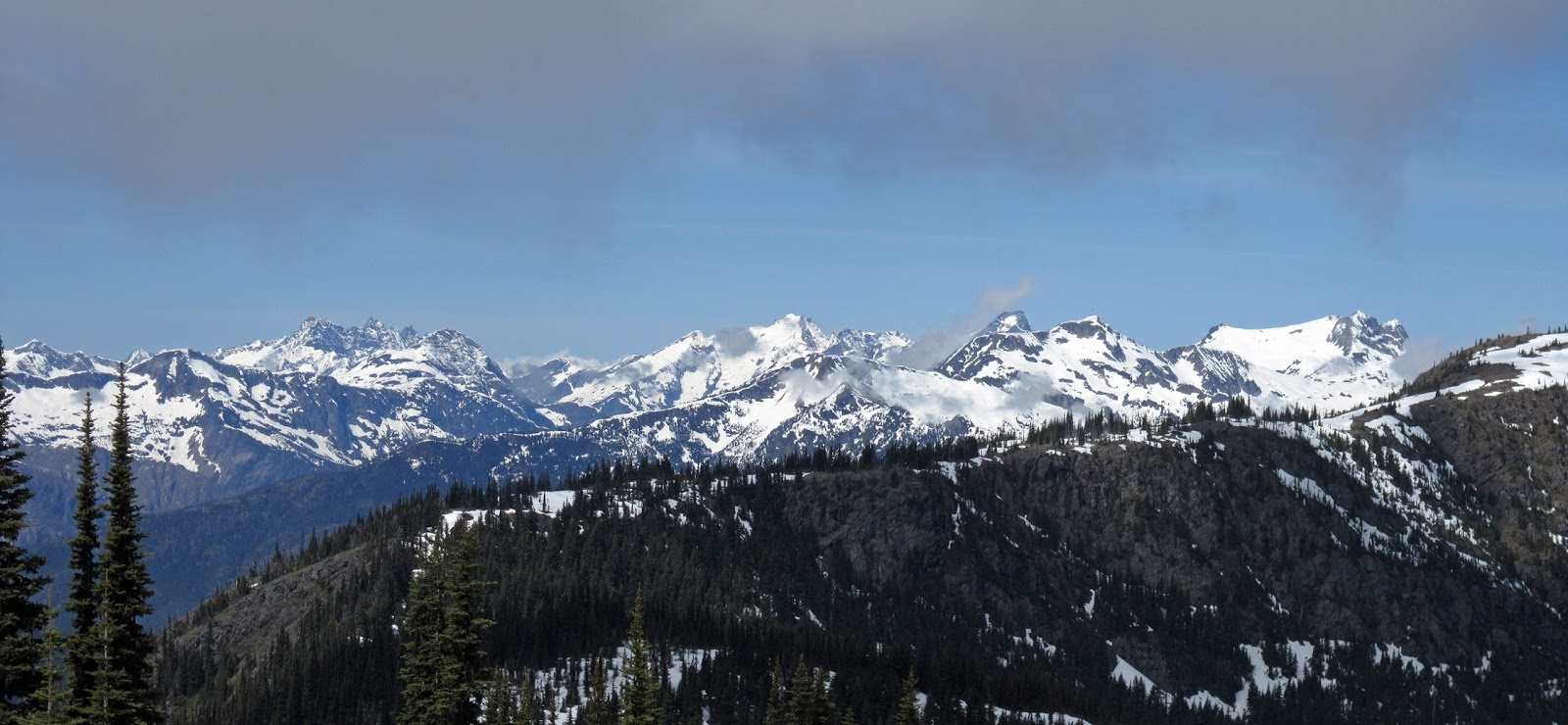
Stetattle Ridge, Southern Pickets, Fury, Luna, Prophet Ridge
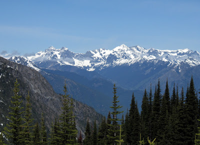
Redoubt, Mox Peaks, Spickard, Custer, Rahm
Stetattle Ridge, Elephant Butte (r), Southern Pickets
Fury, Luna, eastern subpeaks on Prophet ridge
Redoubt, Mox Peaks, Spickard
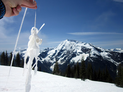
Someone's helium balloon ended up at 6300' in the North Cascades...glad I found it   
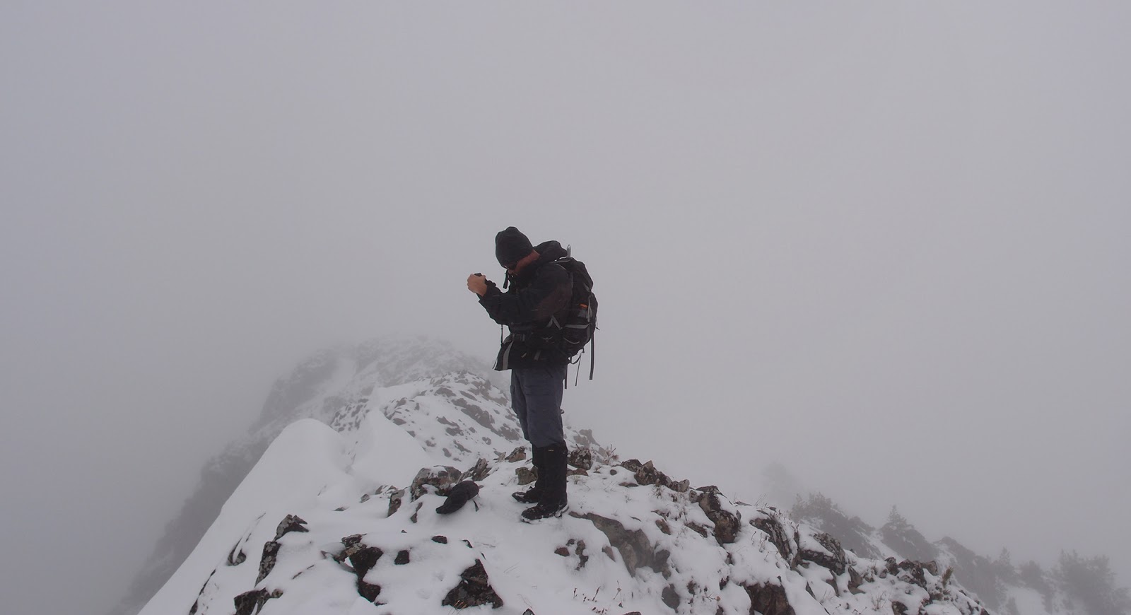
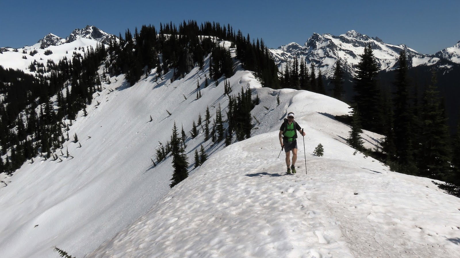
Looking up at the last 900' vertical to Bear Skull's broad summit ridge
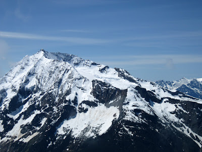
Jack Mountain and the Nohokomeen Glacier
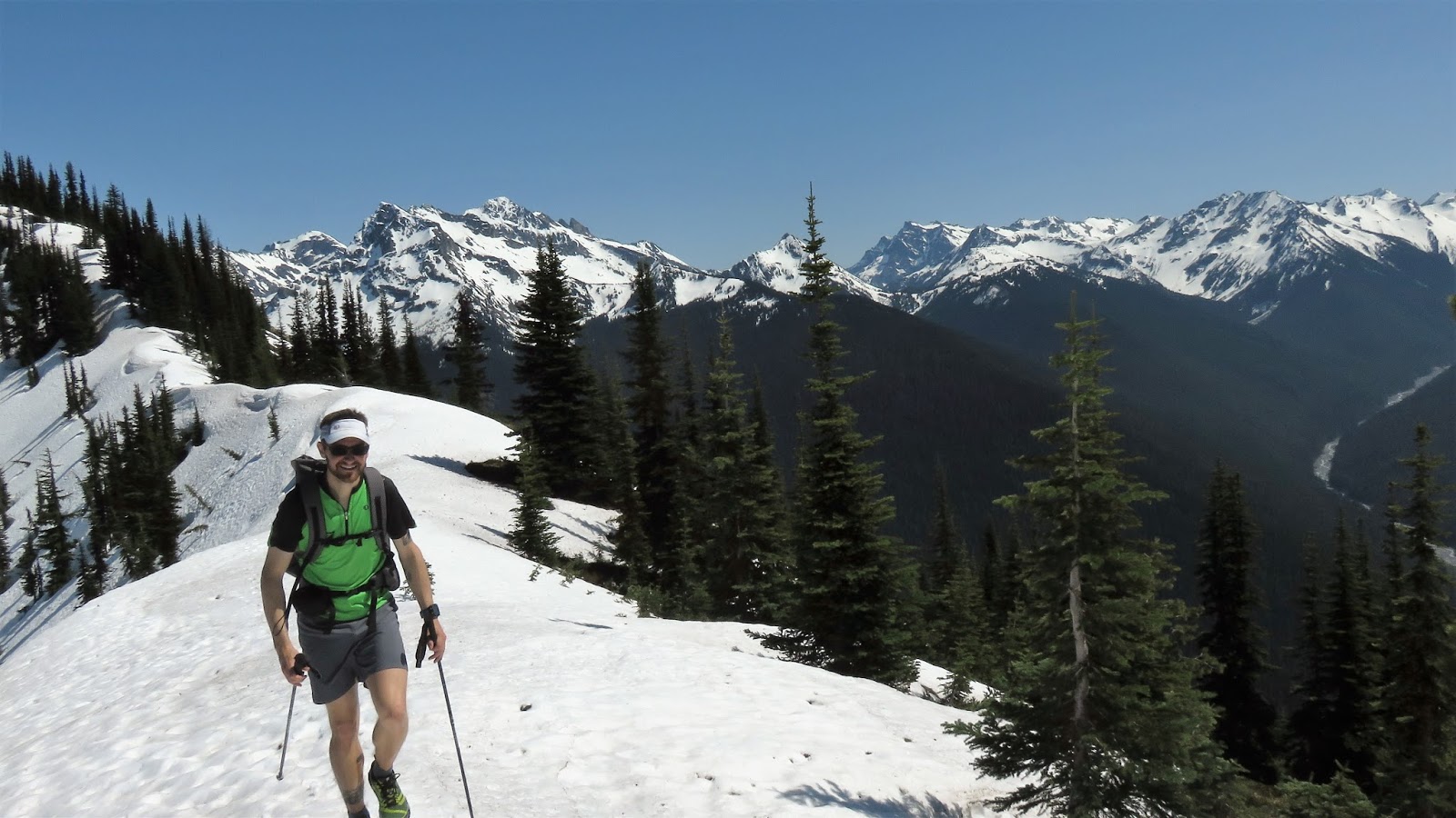
Last bit to Bear Skull summit; fresh snow was dropping off the trees in the warm temps
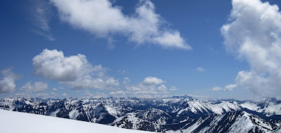
Looking east toward the central Pasayten
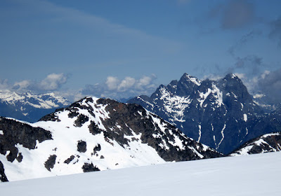
Spratt Mountain and Hozomeen
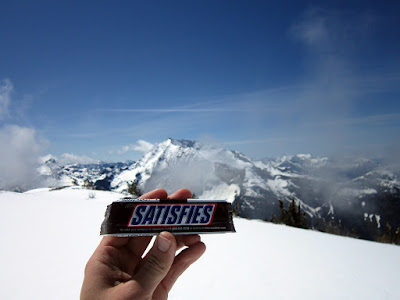
Snickers AND the North Cascades

East (r) to north; the northwestern Pasayten and Manning Park (Canada)
Jack, Snowfield-Colonial Group, Pickets north to the Chilliwack Range
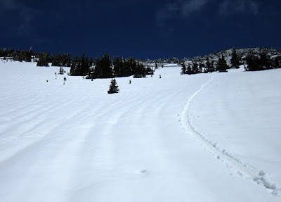
Bit of glissading down from Bear Skull
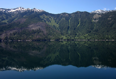
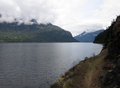
An extremely calm Ross Reservoir, in the afternoon
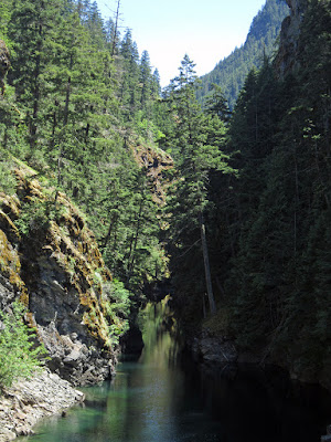
Devils Creek
Share the trail


Sunday, May 22, 2016

McLeod Mountain 8099', Pasayten

Eric and I parked at the junction of Goat Creek Road (5200) and Long Creek Road (5200-500) at 3800'. Long Creek Rd is washed out and has blowdowns across it maybe 1/2-mile up from the junction.

Our plan was to traverse the ridge from McLeod Mountain on the east to Setting Sun at the western end. After a few road miles we took an open grassy slope to McLeod's south ridge. Consistent snow started around 6500' and by 7000' the light rain turned to snow. There was about 4" of fresh snow above 7000'.

After McLeod we backtracked down to ~7300' and turned west to hit all the bumps and smaller peaks on the ridge. After Midday (7670'), Afternoon (7459') and Peachy (7181') we were a little behind schedule from the snow and navigation in the whiteout and bailed on Setting Sun as Eric had a long drive back to the west side. One to go back for as a short half-day trip!


Approaching McLeod's south ridge from Long Creek Rd
Flat spot on McLeod's south ridge at ~7100'
"Hhhmmmm, looks like the summit"
"Yup, this is it" - McLeod Mountain 8099'
Descending McLeod
Eric and I on Midday 7670'
Coyote tracks on the way to Peachy
Looking back at Afternoon on the way to Peachy; "sucker views"
Coyote tracks on lower Peachy
Nearing the top of Peachy
Weasel-family tracks on Peachy; maybe Ermine?
Descending Peachy's south ridge back to Long Creek Rd


Sunday, May 8, 2016

Suiattle River and Miners Ridge, Glacier Peak Wilderness

Even with a more normal snow pack this year the warm spring seems to be providing a very rapid melt. In May 2015 after the winter that wasn't, Kevin and I came up to Miners Ridge and the snow started around 5200'. This year, only five days later the in the month, the snow level was basically the same, although there definitely is more snow on the ridge top.

Sir Hikes A Lot (a tree lover) took little convincing to add on a few miles and pop over to the south side of the Suiattle on the PCT to visit the great old growth cedar and firs that Ben and I had seen around sunset on our Glacier Peak loop.

Relevant trail conditions:
  • Suiattle River: ~30 blowdowns between the TH and Miners Ridge junction; none are an issue. 
  • PCT south of Suiattle River: handful of blowdowns, stream before the good tree grove is a ford or wet log.
  • Miners Ridge: ~20 blowdowns, again no issue with any of them, snow begins at 5200', post holing down low but was consolidated with only a top slop layer on the ridge.

Don't stand in the middle too long...

Suiattle cedars; Sir Hikes photo
Gorgeous Doug Firs
Very fresh cat scat
Raging Suiattle River from the PCT bridge
Suiattle and Dusty drainages, from Miners Ridge

On the trail up to Miners Ridge, with Glacier Peak; Sir Hikes photo
Looking north to that high route across the way
Miners Ridge Lookout, ~6200'

Miners Ridge; Sir Hikes photo
Sir Hikes photo
Sir Hikes on Miners Ridge with one of the best views in the Glacier Peak Wilderness beyond
Namesake
Buck Creek Pass; Helmet Butte (l) and Buck Mountain behind the pass
Sir Hikes at one of his favorite places
Sir Hikes photo