A 4:44am email from Nick had us heading south to MRNP instead of east of the crest where the forecast had deteriorated overnight. Our plan was to park at Kautz Creek, head up to
Pyramid Peak and then possibly to another destination, like Tokaloo Rock, looping back via the mostly-closed (but going to reopen?) Westside Road.
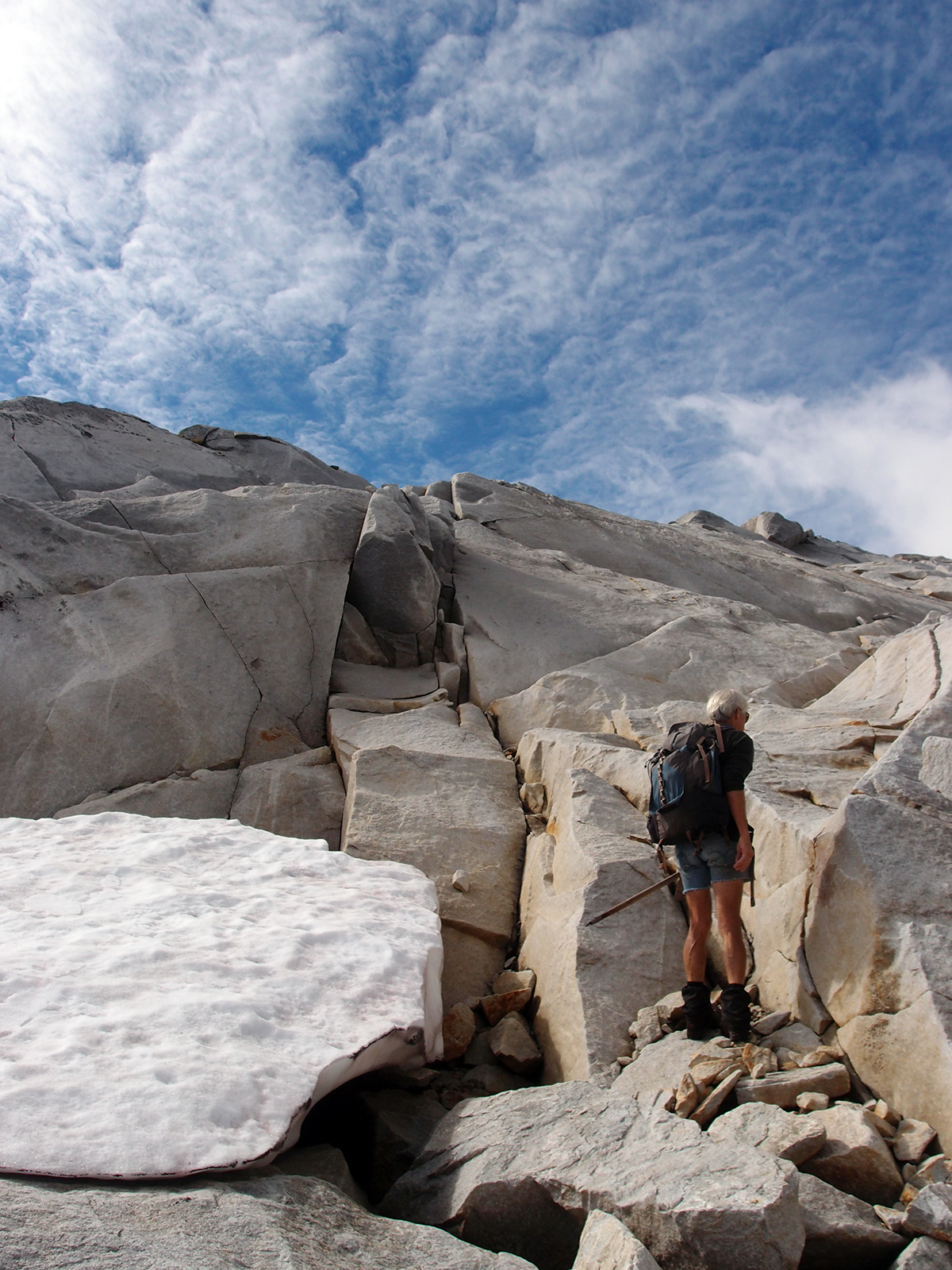
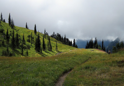
Classic fall weather with chilly, fog-filled valleys gave way to warm sunshine and transiting clouds above 5000' as we neared Indian Henry's Hunting Ground. Pyramid Peak was a very fun side trip with good views before more clouds rolled in. We decided to try for Tokaloo Rock as it was clear to the north when we left Pyramid, but that was pretty short lived.
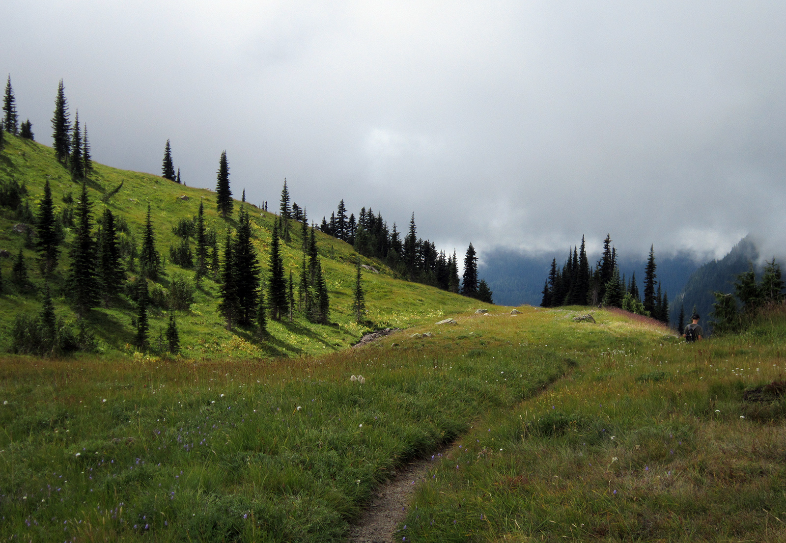
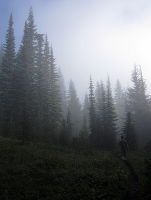
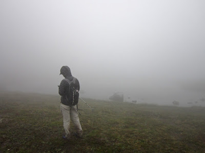
By the time we reached the ridge above St. Andrew's Park we were socked in, and stayed that way for our entire attempt up toward Tokaloo and back down. Looking at pictures from other TRs now, we were off route by literally 50 yards, but visibility was so bad we couldn't even see a huge 100-yard-wide bench that was directly below the rocky ridge we were on. It was late in the day, we had intermittent light rain and a little smattering of the frozen stuff and I told Nick it didn't seem like a smart idea to continue on. The clouds were so thick on the way down we got off route a couple of times on terrain we'd been on just 30 minutes earlier.
Turning around early also was a good idea as Nick's feet we're very blistered from being wet all day and he had to resort to walking the last section of road in his socks. We also learned that if you're walking the Longmire Road at night by headlamp Park Rangers will pull you over and try to figure out what is going on, as well as keep you safe from drunk drivers who they say frequent the road; thanks Ranger Kelly!
 |
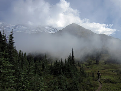
| Breaking out of the fog on the Kautz Creek trail |
 |
| Passing Mt. Ararat on the way to Indian Henry's |
 |
| Rainier, approaching Indian Henry's |
 |
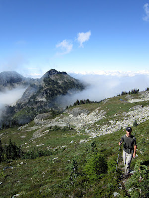
| Headed to the aptly-named Pyramid Peak |
 |
| Nick on the lower slopes of Pyramid Peak; Copper and Iron beyond |
 |
| Pyramid Park looks gorgeous |
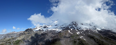 |
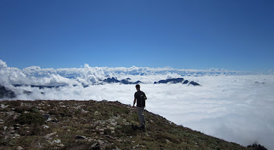
| The southwest flanks of Rainier, from Pyramid Peak 6937' |
 |
| Tokaloo Rock (r) and Spire, from Pyramid Peak |
 |
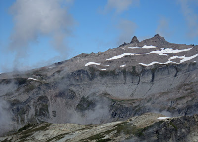
| Copper and Iron, from Pyramid Peak |
 |
| South Tahoma Glacier with fresh snow |
 |
| Nick leaving the summit of Pyramid with the Tatoosh Range and Goat Rocks area further back |
 |
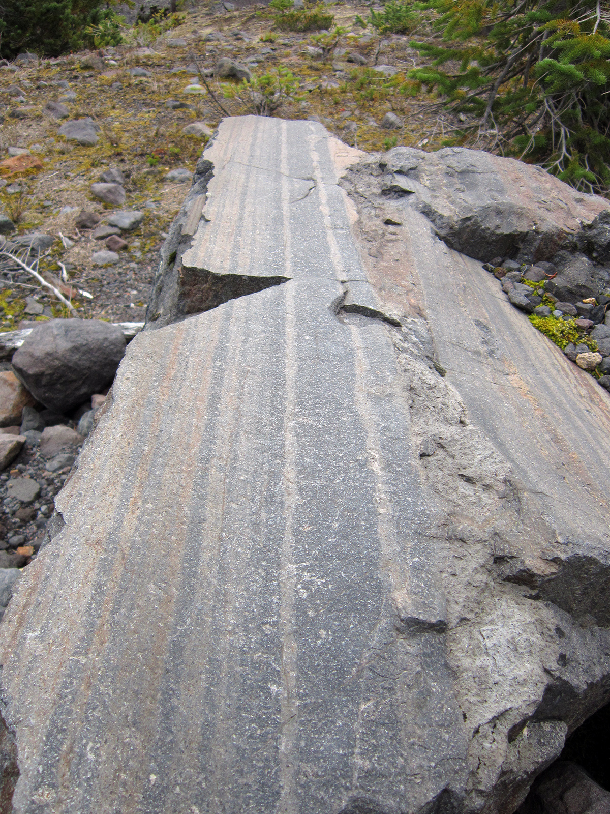
| Flow-banded rhyolite (?), south side of Emerald Ridge |
 |
| Tahoma Glacier terminal moraine |
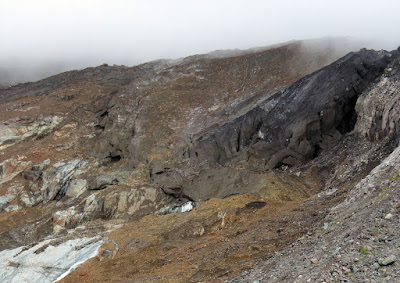 |
| Dirty ice at the terminus of the Tahoma Glacier |
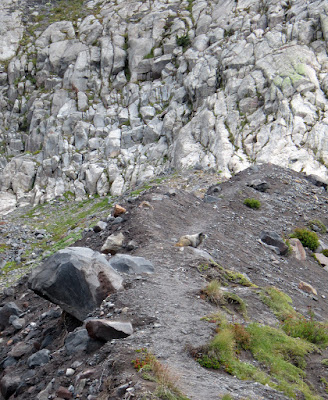 |
| Marmot on Emerald Ridge |
 |
| Descending Emerald Ridge |
 |
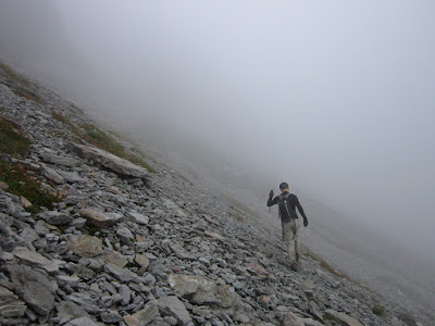
| Low on the ridge toward Tokaloo Rock |
 |
| Contouring around Andrew Peak |
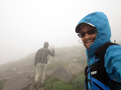 |
| We're having fun now! |
 |
| Location check by one of the tarns along the ridge |
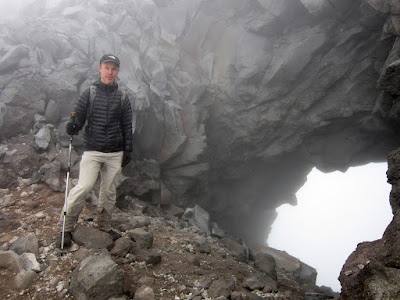 |
| Cool arch along the ridge |
 |
| Where I told Nick I thought we should turn around; correct route was only 50 yards downslope right, and we couldn't see it |
 |
| I can't recommend doing this...Nick crosses the arch on our descent |
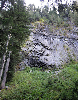 |
| Columnar basalt along the South Puyallup River trail |