Thanks to Sir Hikes A Lot for the trip and writing the conditions report!
Sir Hikes A Lot and I had talked about doing Rainbow Ridge two years
ago, but it never came to fruition. I
brought it up again this week and it seemed like a good idea. Sir Hikes suggested a couple of XC add-ons, but due
to the heat and slower going, we only did the Twisp Lake addition...but on a
day as hot as this, that was plenty. One
really nice part about this route is that it was well watered.
Aside from 12 people in the first 6-7 miles we had good
solitude. The day was lacking in the
wildlife department, which surprised us, but at least there was a good amount
of old bear scat. One thing we really
enjoyed about the XC sections, besides the beauty, is that we saw no cairns. It's always a pleasure to get out together and this loop was laced with gorgeous views and terrain....
Trail conditions:
- The ~ 6 miles of the PCT we hiked from the Bridge Creek TH
to the Rainbow Lake tail junction has been cleared and brushed.
- The ford of Bridge Creek was 2-3 ft deep depending on where
you crossed.
- The Rainbow Lake Trail is in good shape overall, with 18
downed trees.
- The Hidden Meadows Camp spur has been cleared and is in
good shape.
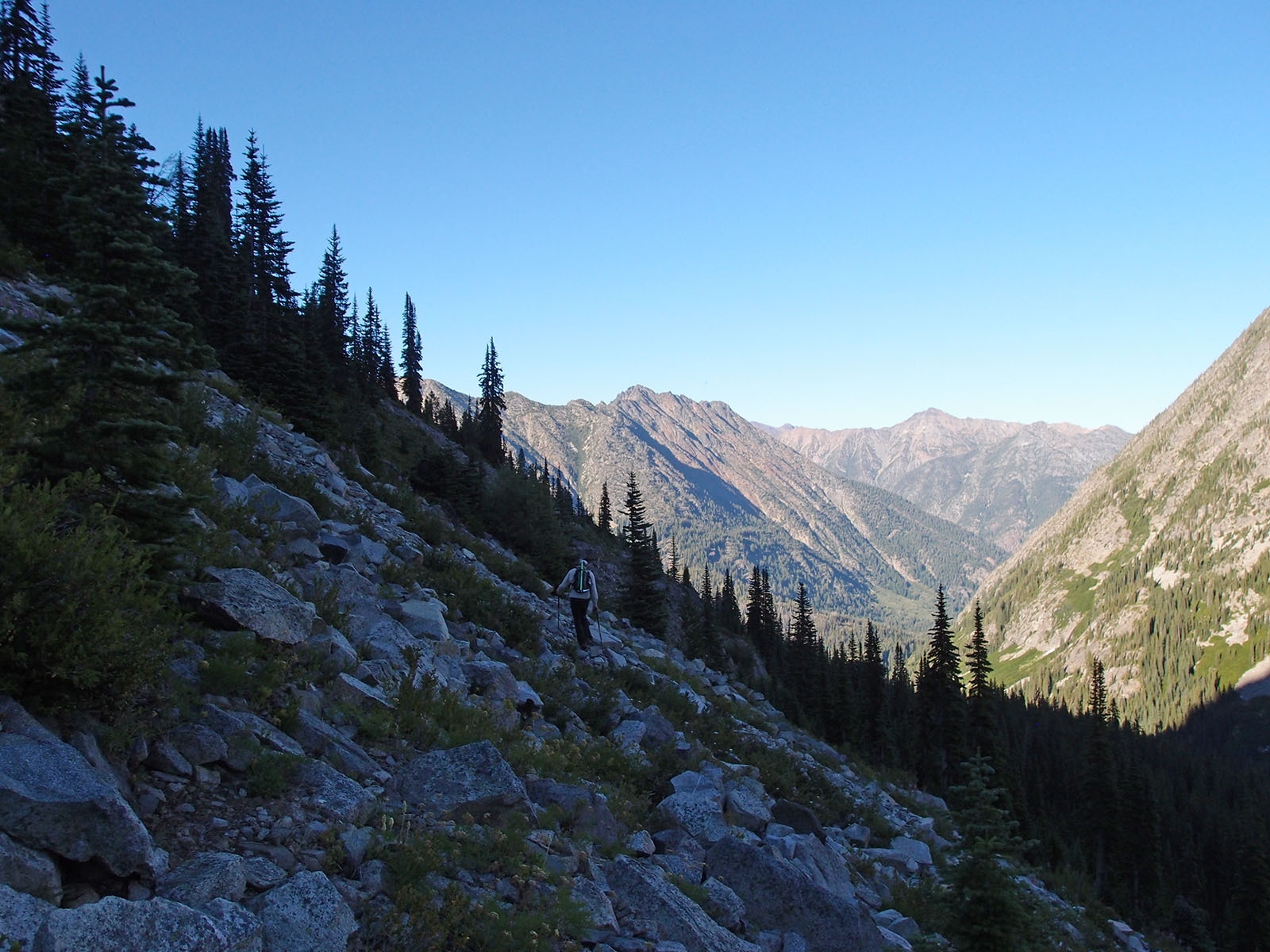
- From where we picked up the Twisp Pass Trail, there were ~
5 downed trees down to the McAlester Trail trail junction, with the trail being
in good shape overall.
- The Stiletto Spur Trail was in good enough shape with a
few downed trees.
- Bugs were out of control!
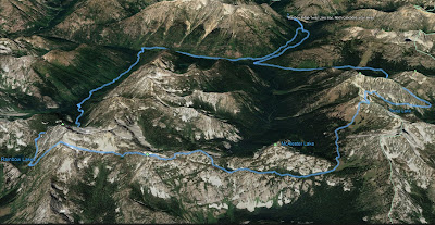 |
| 29 miles, 8900' gain |
 |
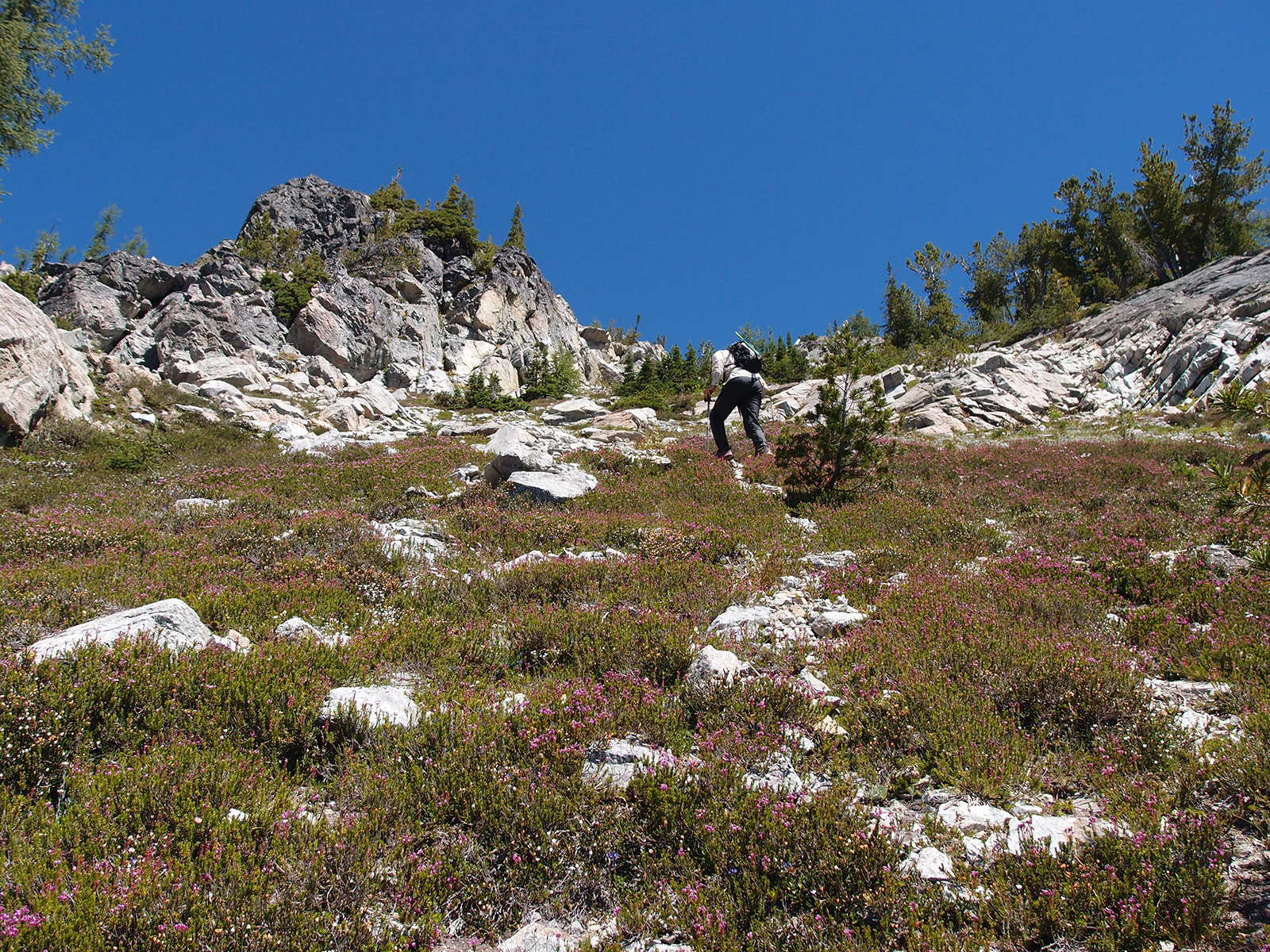
| Love pink paintbrush! |
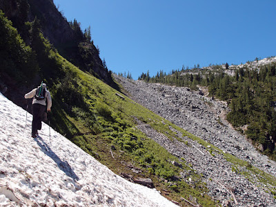 |
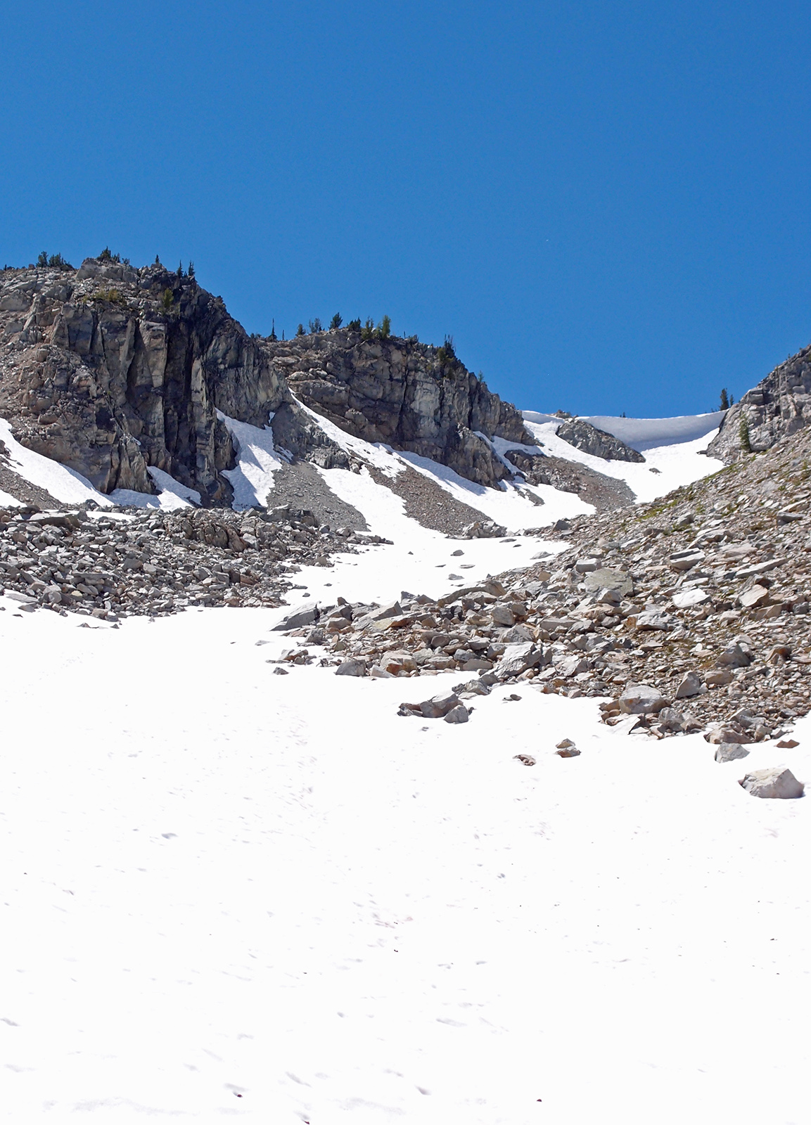
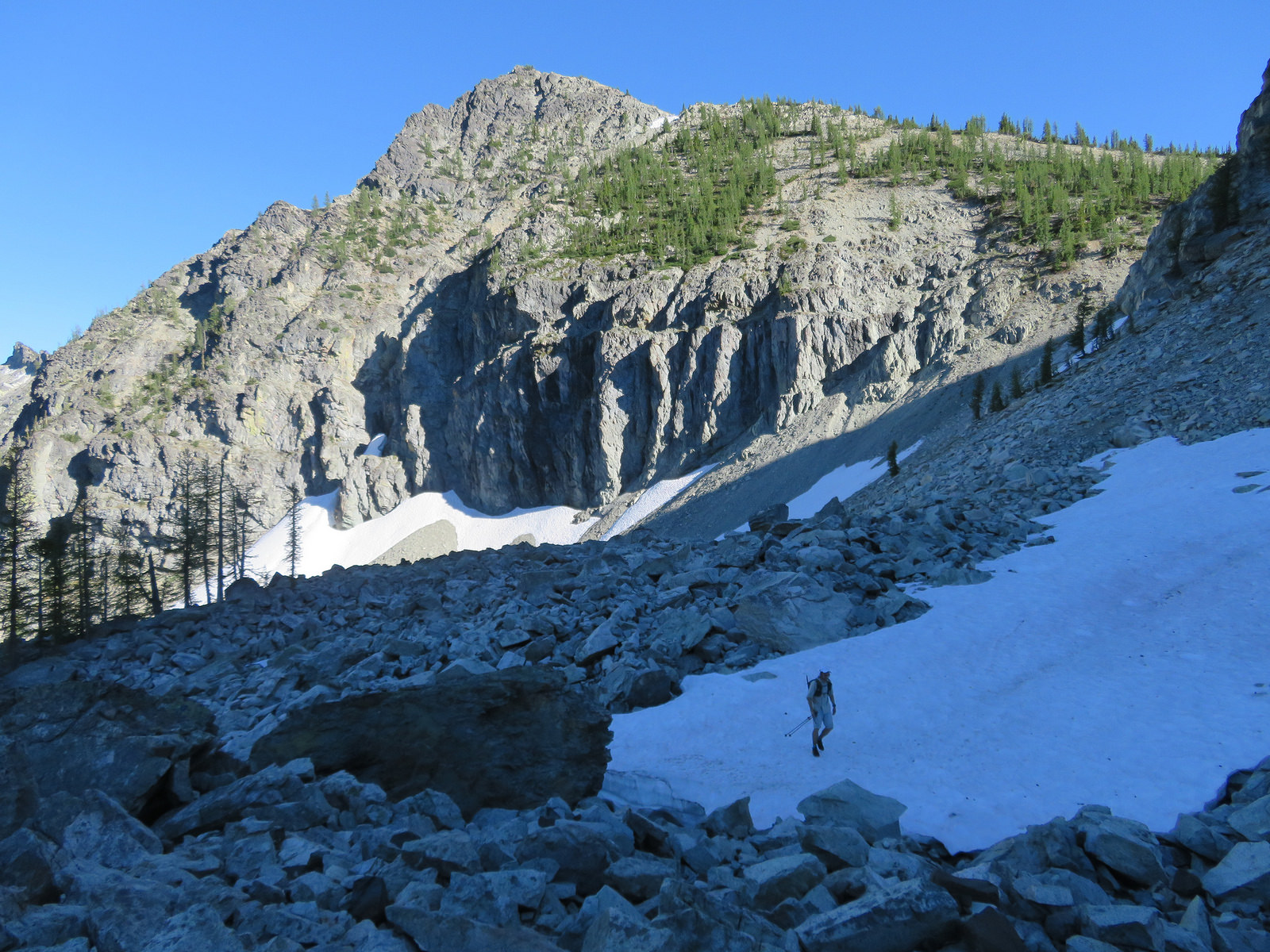
| Few snow patches left on the north side of Bowan Pass |
 |
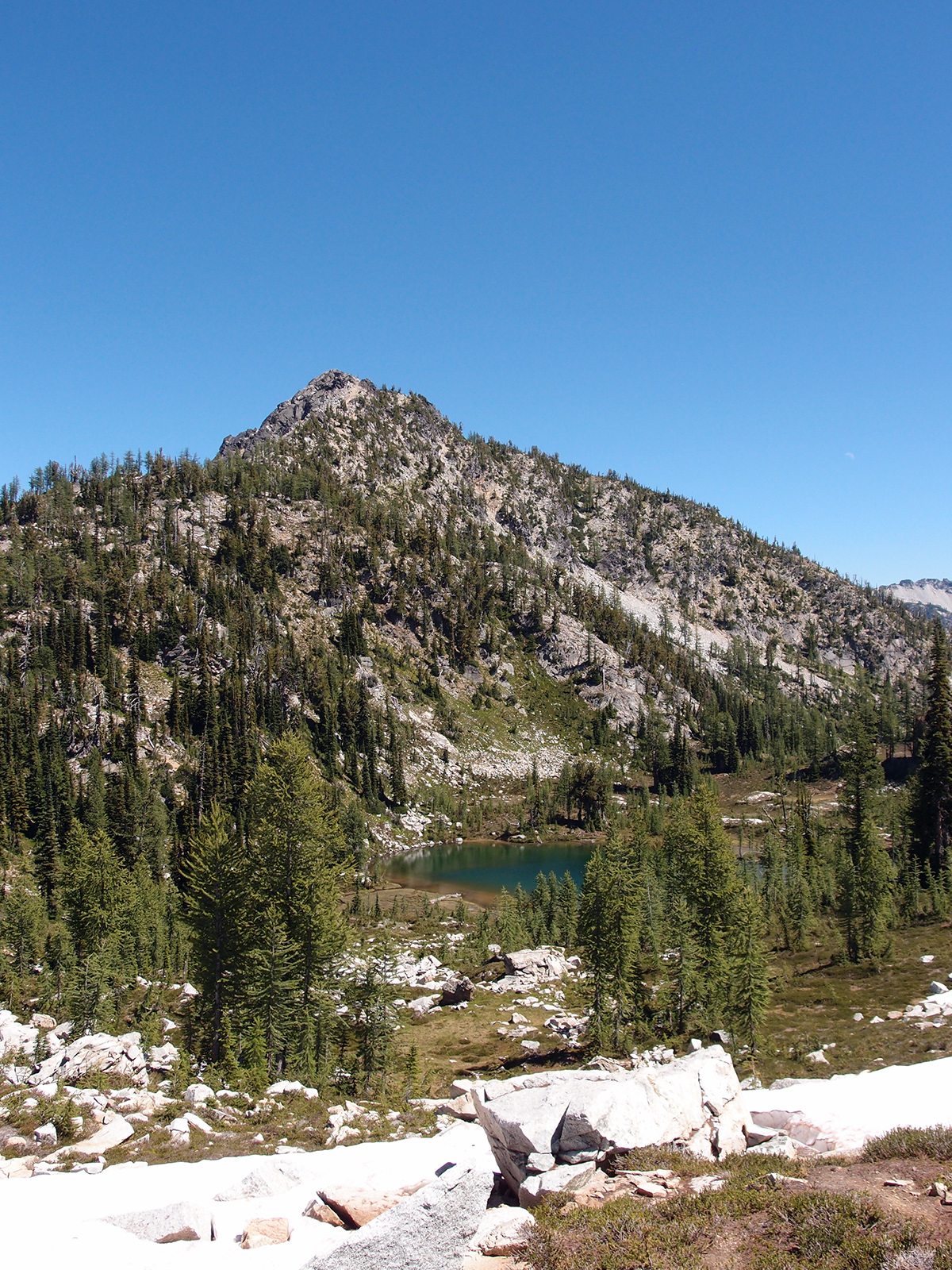
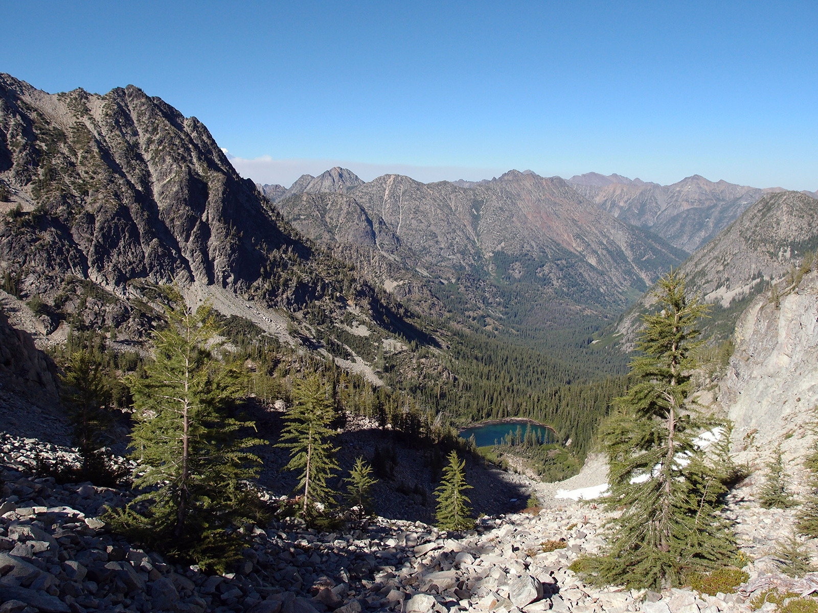
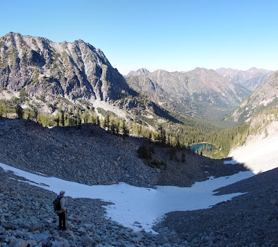
| Rainbow Lake and the east side of McGregor |
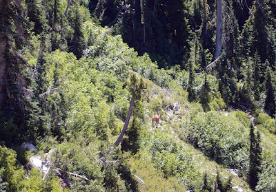 |
| Nice buck near Rainbow Lake |
 |
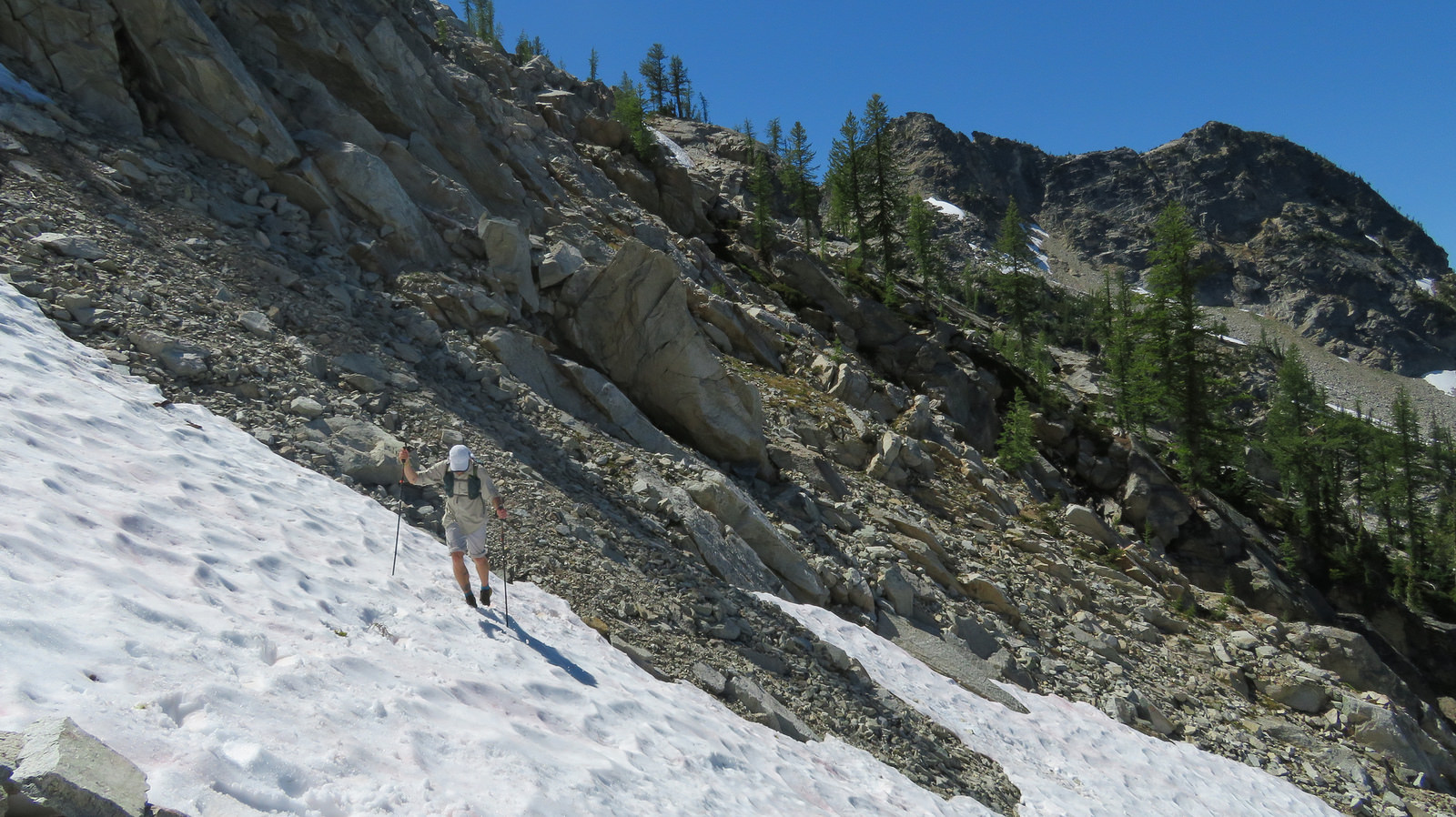
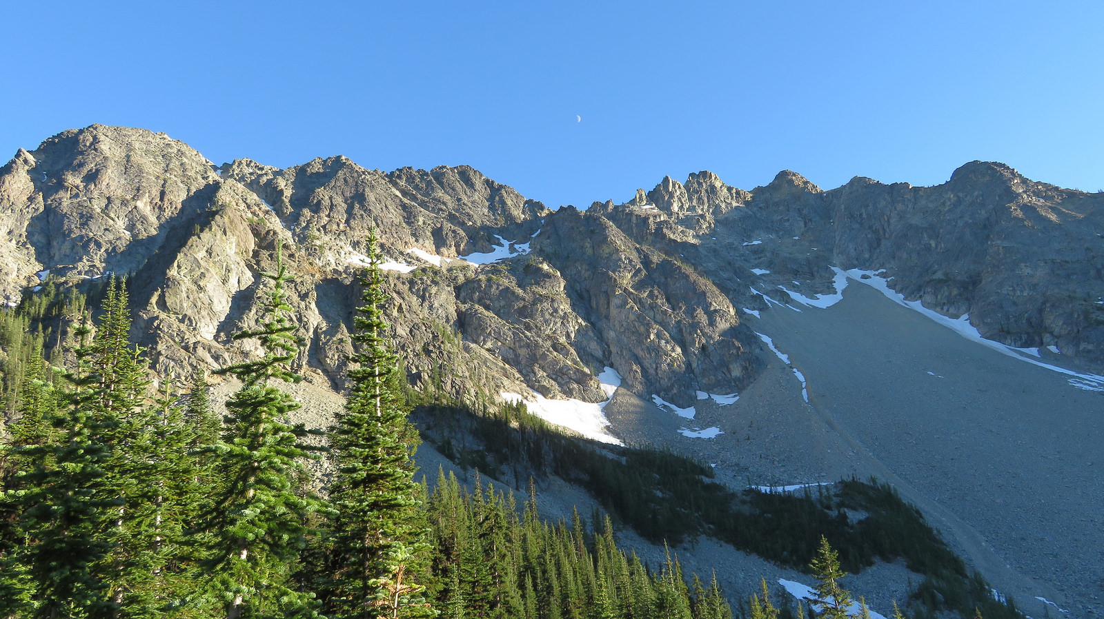
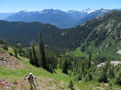
| Some slabs and ledges climbing up to Rainbow Ridge |
 |
| Climbing up to Rainbow Ridge; Sir Hikes photo |
 |
| Getting close to Rainbow Ridge |
 |
| West end of Rainbow Ridge; Sir Hikes photo |
 |
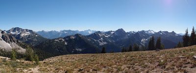
| Bonanza and Glacier |
 |
| Chikamin Glacier on Dome, Spire Point to the right |
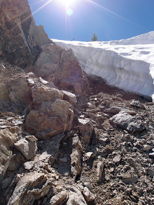 |
| Came down slabs to the left of the moat, then down this scree |
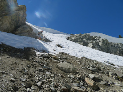 |
| Where we came down as there was a 20' cornice on the normal route; Sir Hikes photo |
 |
| Looking back at the pass; normal route would be on the right, we came down under the smaller cornice on the left |
 |
| Sir Hikes |
 |
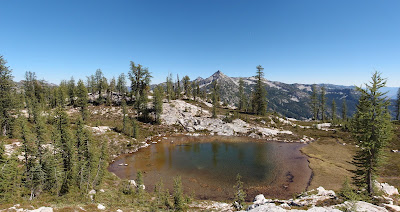
| Tarn 6495' on Rainbow Ridge |
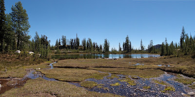 |
| Tarn 6495' |
 |
| Tarn on Rainbow Ridge |
 |
| Tarns on Rainbow Ridge |
 |
| Western end of Rainbow Ridge is a lot of this...Sir Hikes Photo |
 |
| ...and this; Sir Hikes Photo |
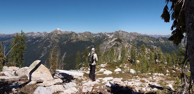 |
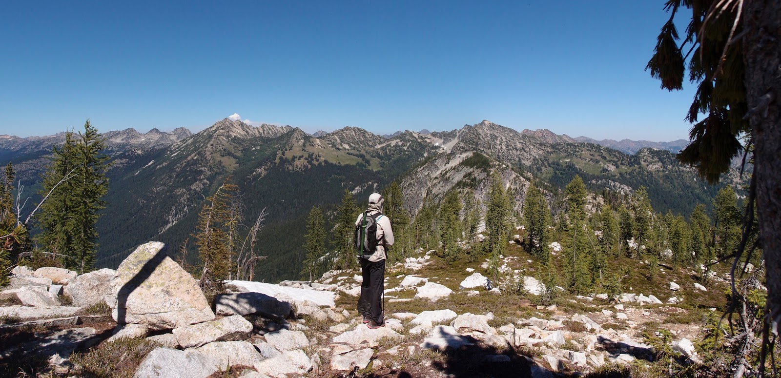
| Sir Hikes surveying the eastern end of Rainbow Ridge |
 |
| Lake 6111' on Rainbow Ridge |
 |
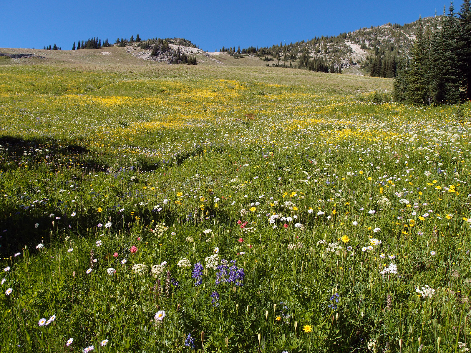
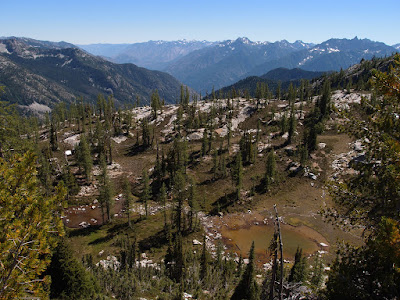
| Tarn and tons of flowers on the southern portion of McAlester Pass |
 |
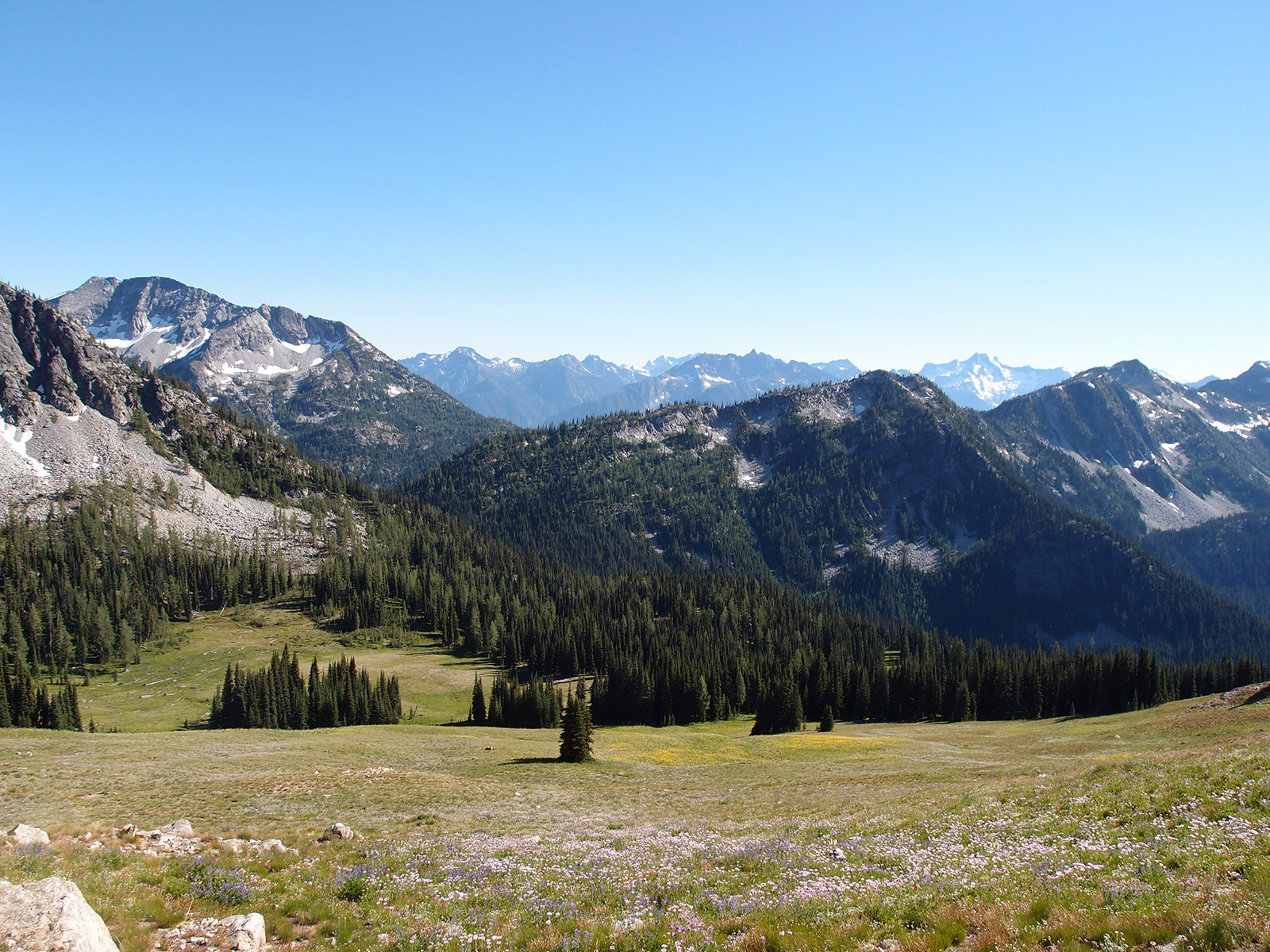
| Flowers above Hidden Meadows, our pass is in the center |
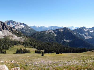 |
| Looking back down on Hidden Meadows and McAlester Pass |
 |
| Rainbow Ridge across the midground |
 |
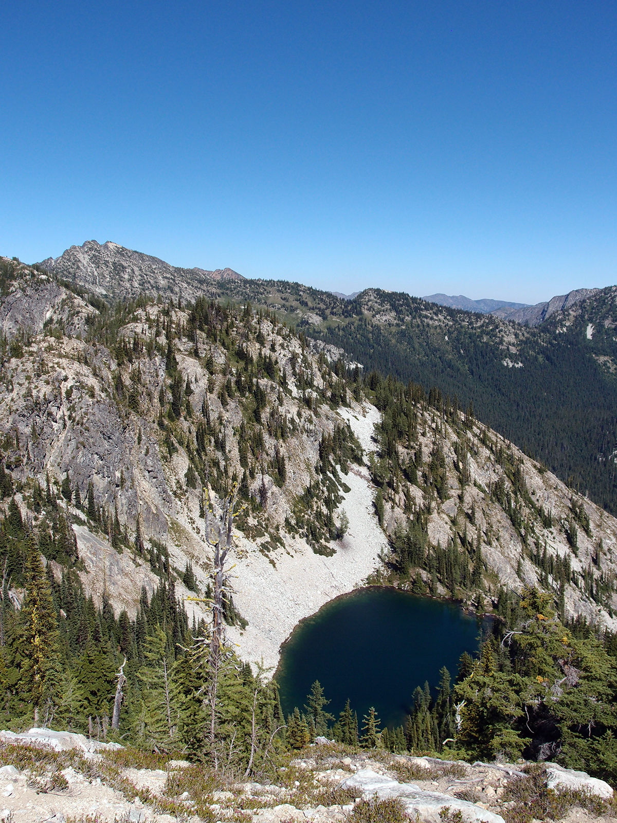
| Looking down over the pass at Twisp Lake and the South Fork Twisp River drainage |
 |
| Descending |
 |
| Traversing above Twisp Lake; Sir Hikes photo |
 |
| A cliffband we had to work through; Sir Hikes photo |
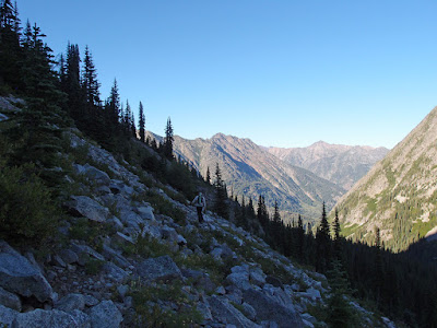 |
| Traversing toward the pass south of Twisp Mountain |
 |
| Last pass of the day... |
 |
| Massive Hock Mountain scree slope |